WERI presents at BSP & Coastal Management Planners Symposium
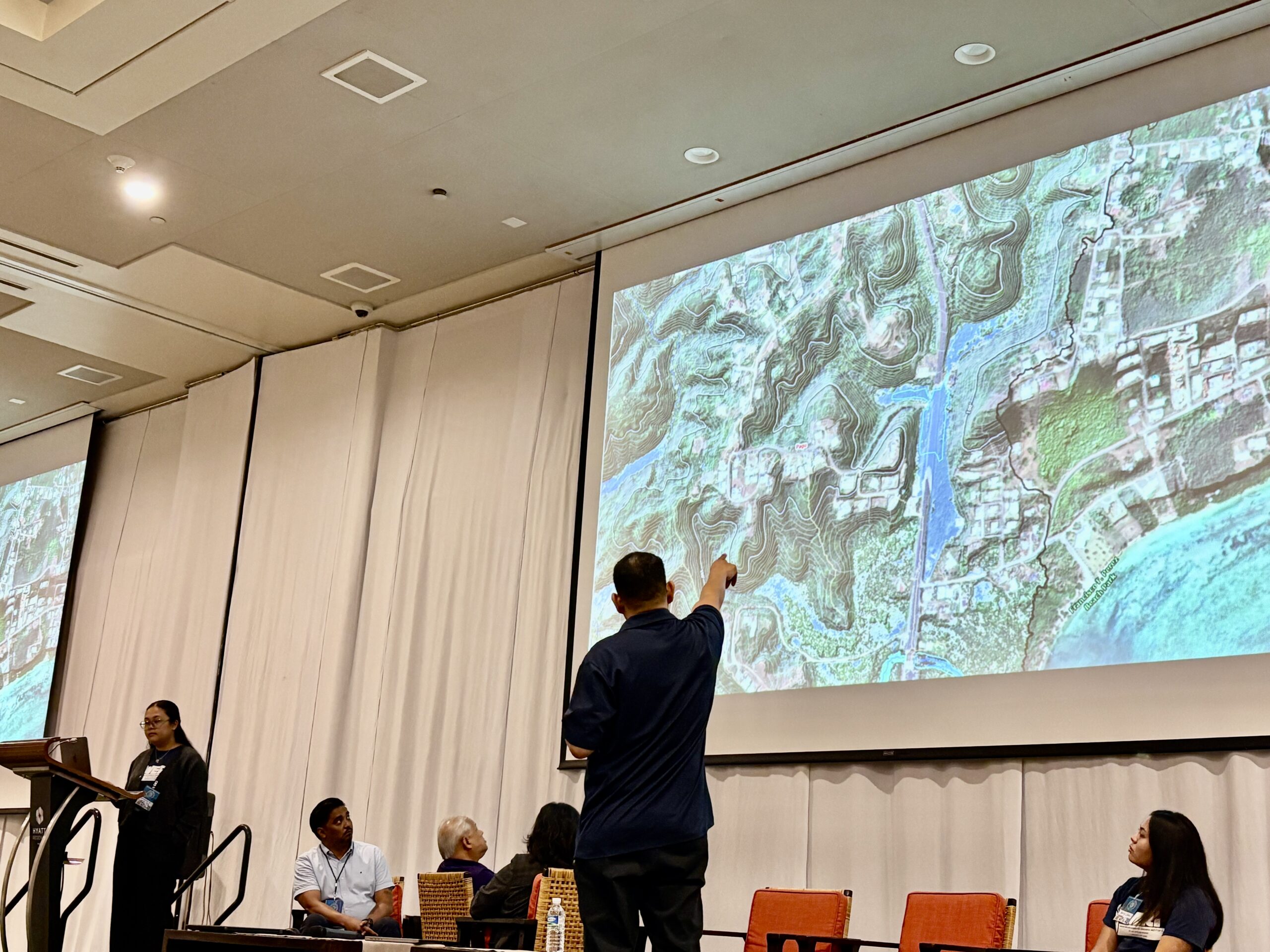
Dr. Nathan Habana, hydrologist at the Water & Environmental Research Institute (WERI), shared his newest hydrologic map of Guam as a panelist at the 10th Assembly of Planners Symposium. His plenary specifically focused on how spatial data integration can be applied to manage natural hazards, make better use of resources, and support the long-term vision of the Guåhan 2050 Sustainability Plan. The map—developed from high-resolution LiDAR imagery—is the first of its kind for Guam’s watersheds. It builds upon earlier hydrologic studies of the Northern Guam Lens Aquifer, particularly Surface Hydrology of the…