
WERI presents at international hydrology conference hosted by NWS
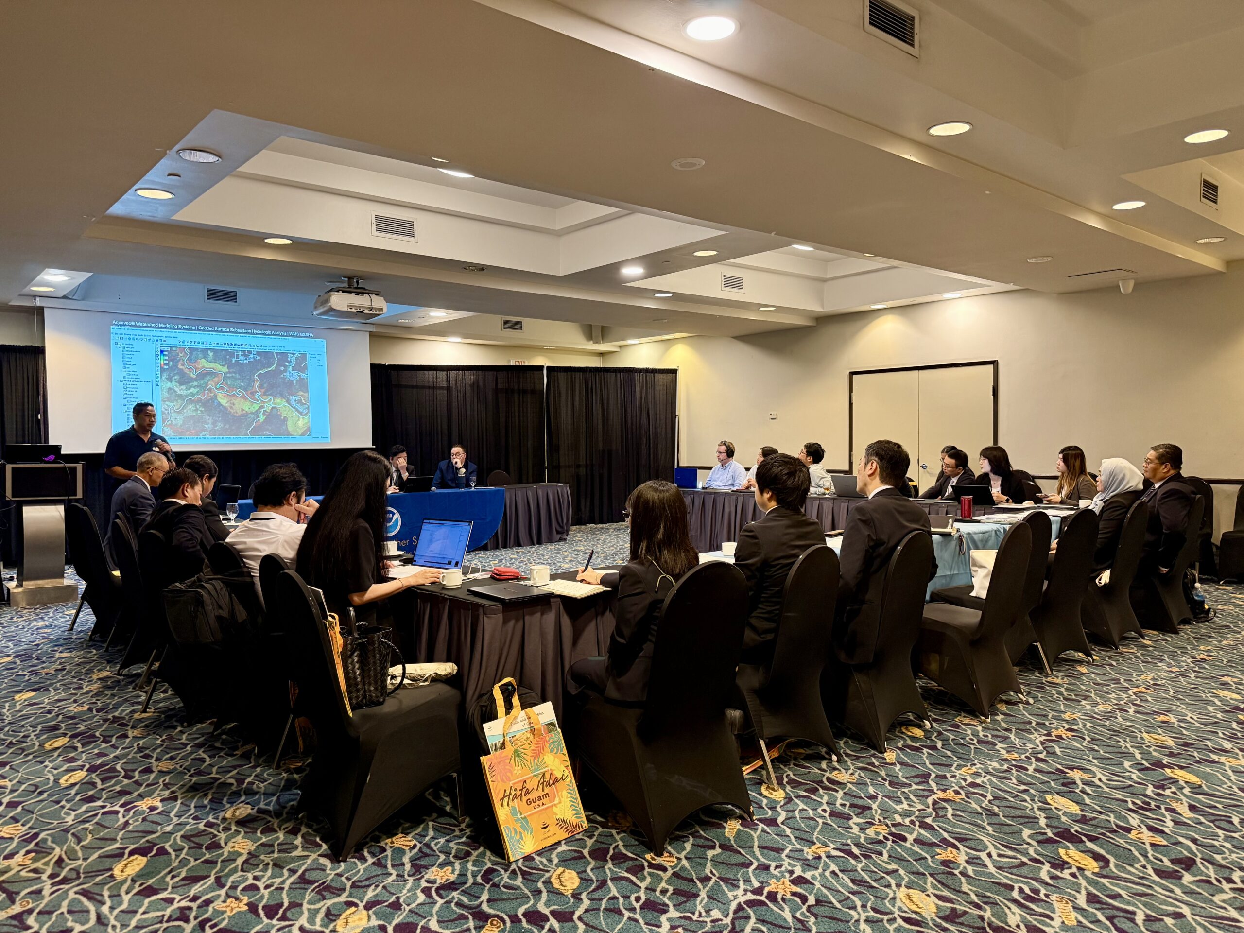
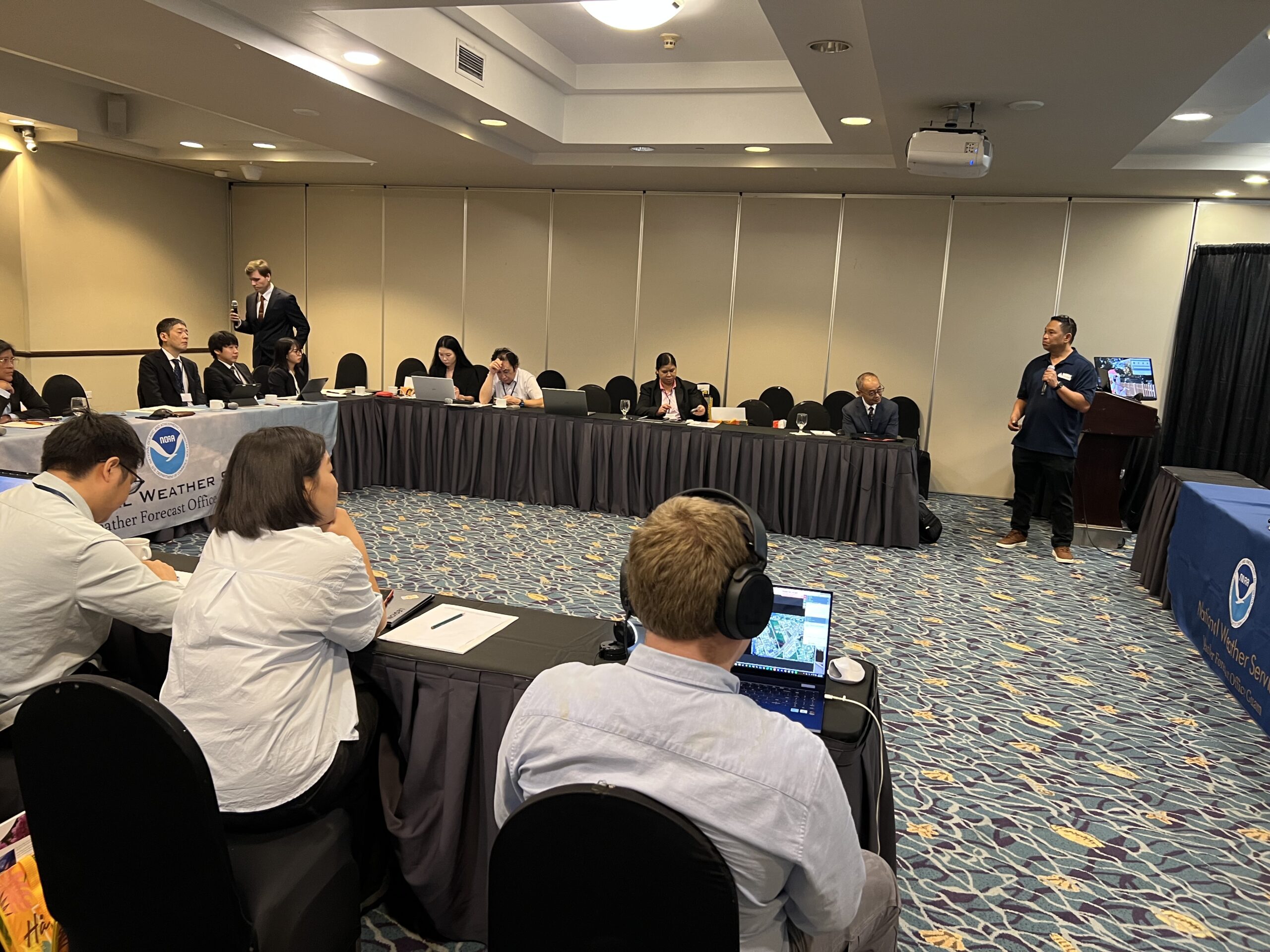
On September 23, 2025, WERI hydrology researchers Dr. Chris Yeo and Dr. Nathan Habana were featured as keynote speakers at the Worldwide Meteorological Organization/United Nations Economic and Social Commissions for Asia and the Pacific’s (WMO/UNESCAP) Typhoon Committee conference, Strategic Action for a Resilient Tomorrow, hosted by the National Weather Service (NWS) in Tumon, Guam.
The committee, comprised of an inter-governmental body, works to help Asia-Pacific nations reduce the loss of life and damage caused by typhoons through regional cooperation in meteorology, hydrology, and disaster risk reduction.
As part of this mission, the committee’s working group on hydrology promotes collaboration, knowledge sharing, and capacity-building to strengthen member countries’ hydrological practices and water resources management.
This recent event brought together hydrology experts and representatives from across the Asia-Pacific region to strengthen coordination on multi-hazard early warning systems.
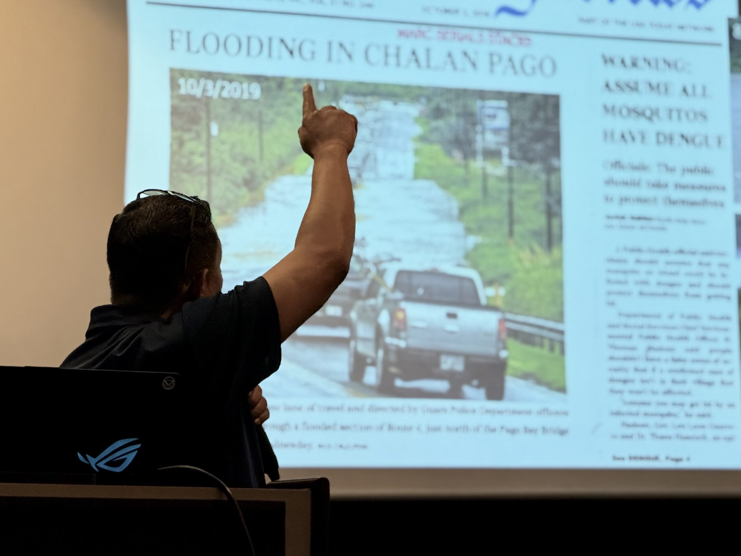
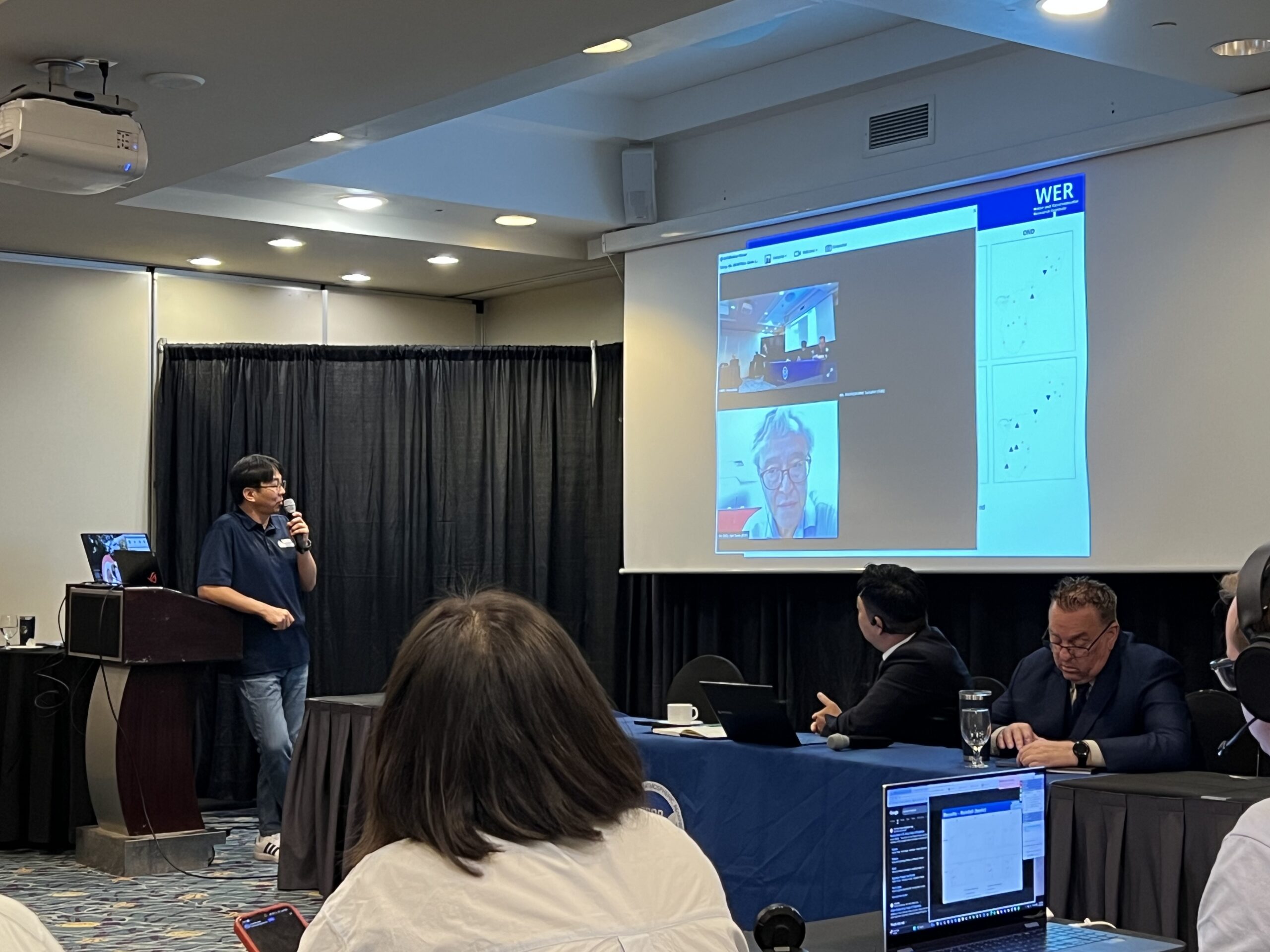
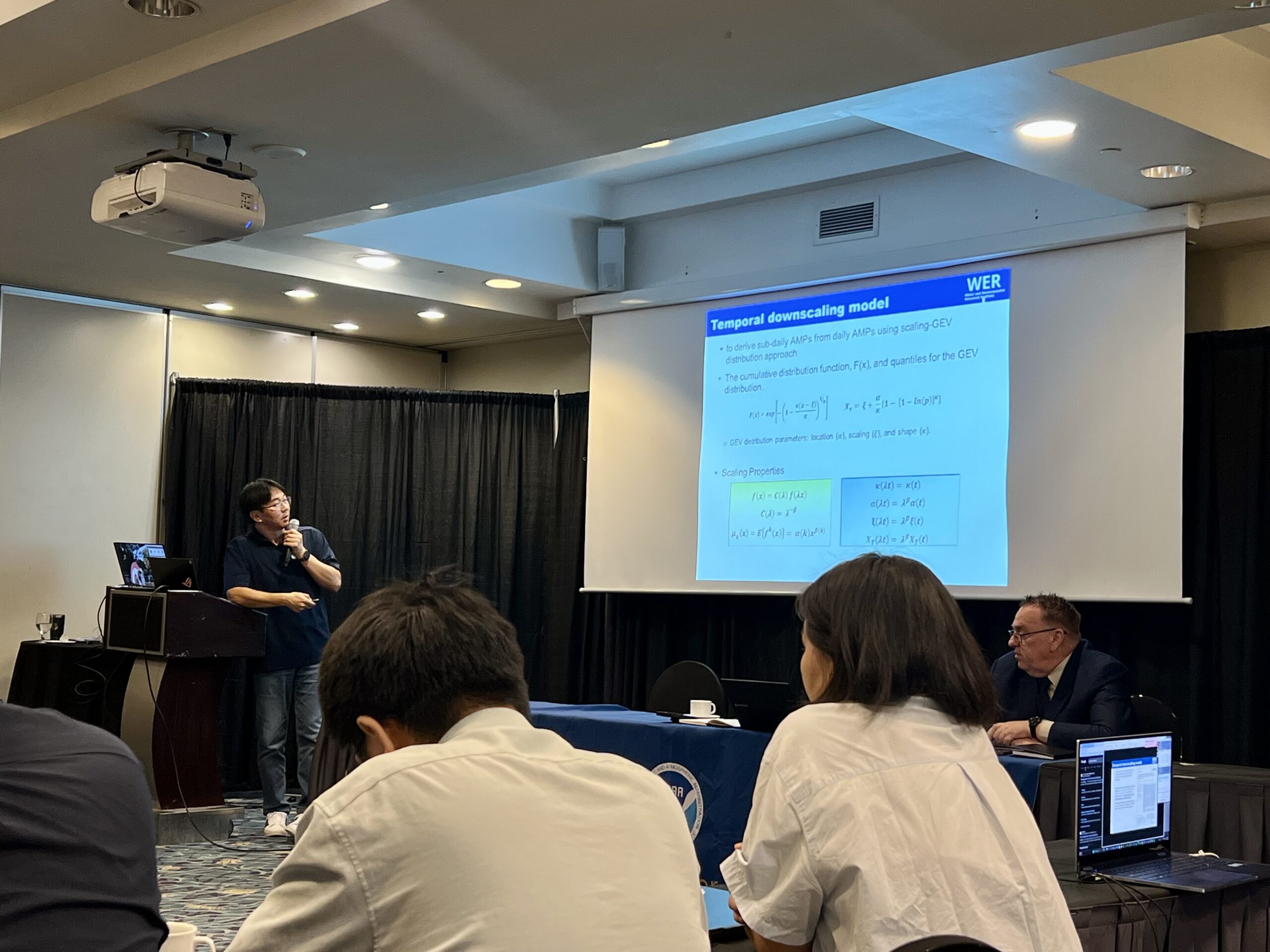
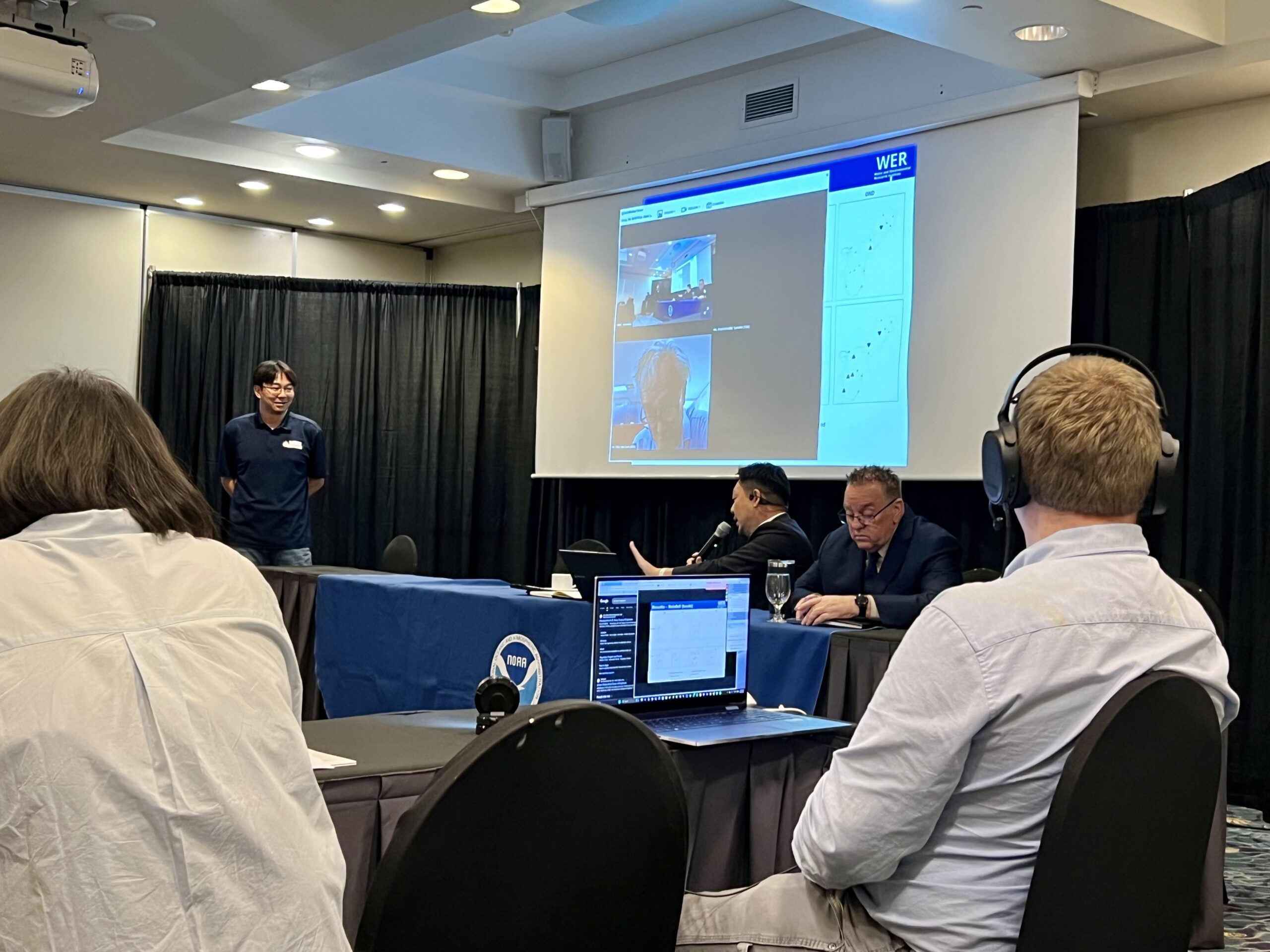
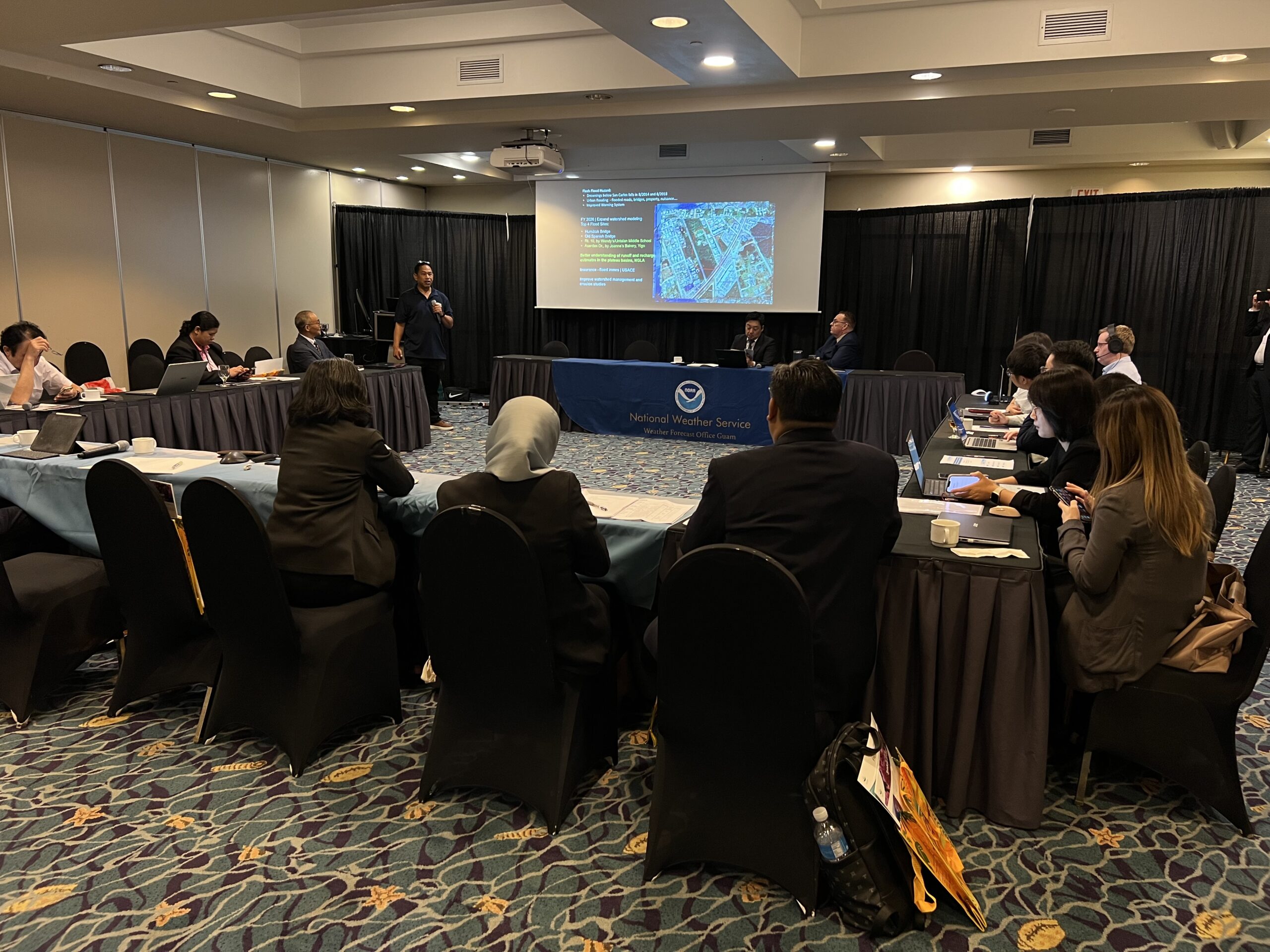
Dr. Yeo, associate professor of surface water hydrology, presented his work on advance mitigation frameworks for extreme rainfalls under climate change, while Dr. Habana, associate professor of groundwater hydrology, shared his recent work analyzing rainfall intensity, duration, and flash flood model at Guam’s Rt. 4 Pagu Bay Bridge.

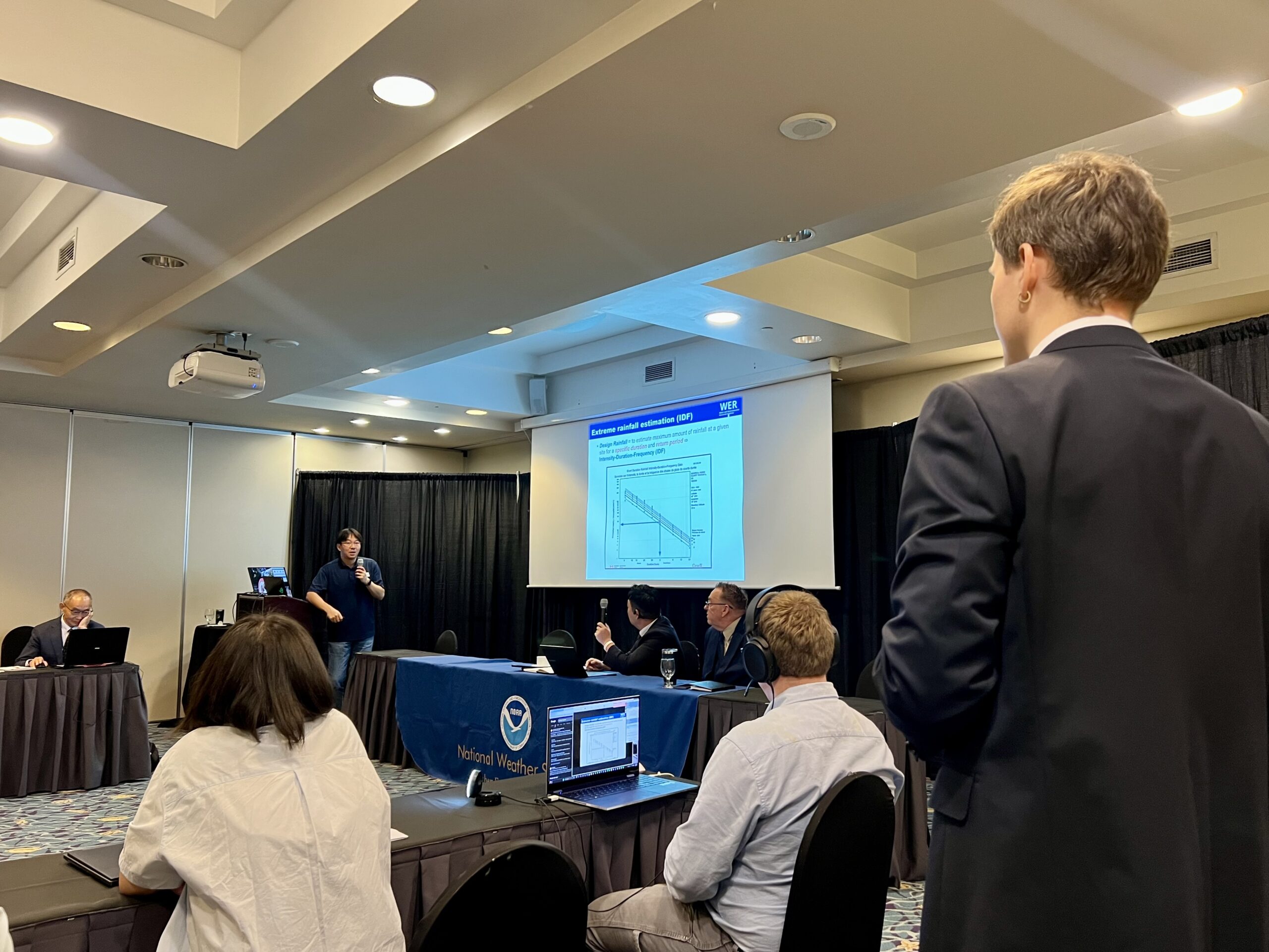
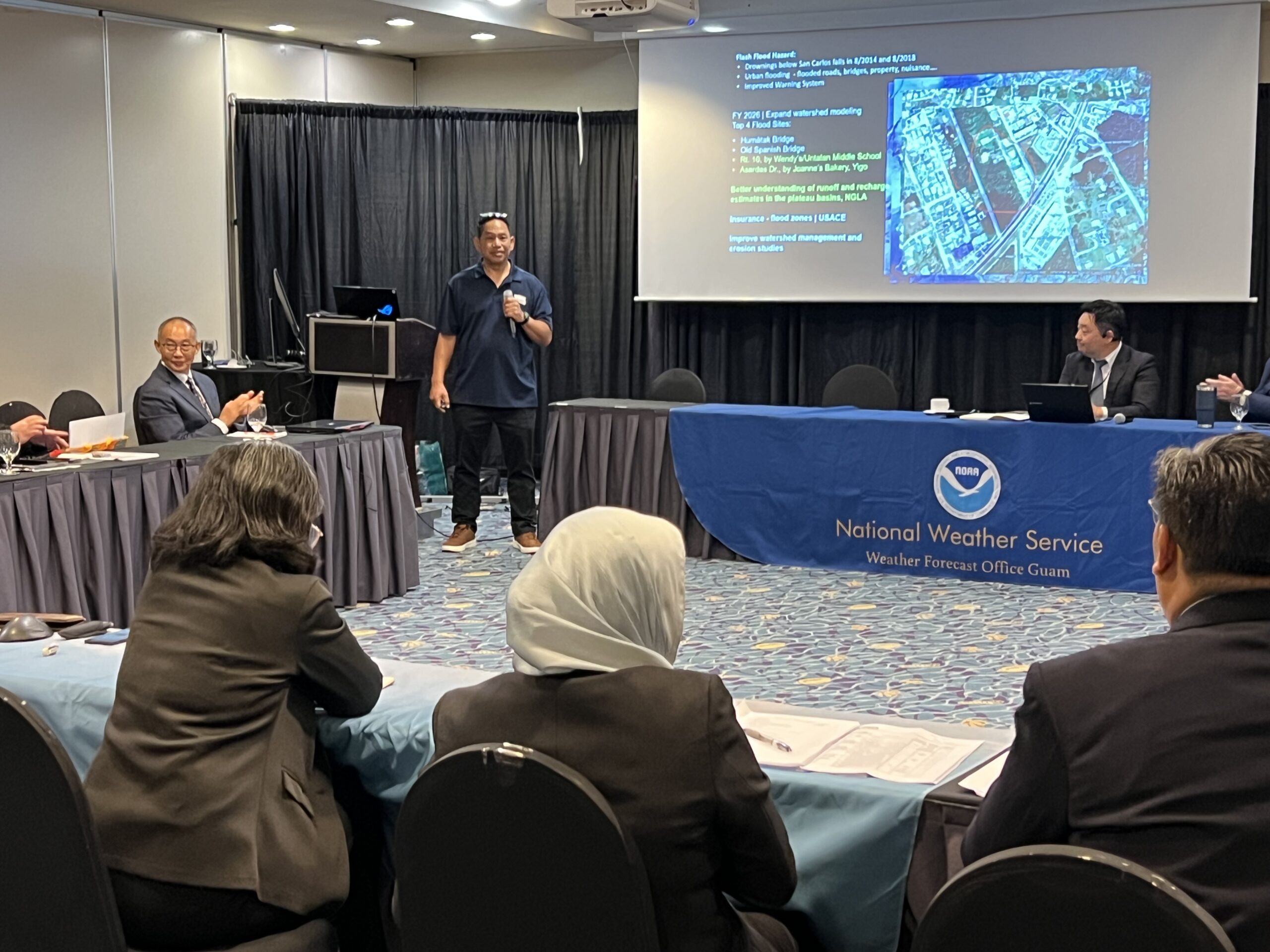
WERI faculty Dr. Yeo and Dr. Habana presenting their respective research at the conference. Photos by WERI.
WERI and NWS Tiyan, long-standing interagency partners, continue their vital collaboration in sharing climate and hydrologic information on Guam.
Following the passing of WERI meteorologist Dr. Mark Lander, NWS personnels (Clint Simpson, Brandon Bukunt, and Isa Cruz) continued maintenance of one of Dr. Lander’s Southern Mountain Rain Gages situated at the top of the Humatak watershed in 2022. NWS staff conduct the challenging climb to replace and retrieve rain gage loggers, while Habana processes and organize the collected rain data, and resets the logger – monthly to quarterly.
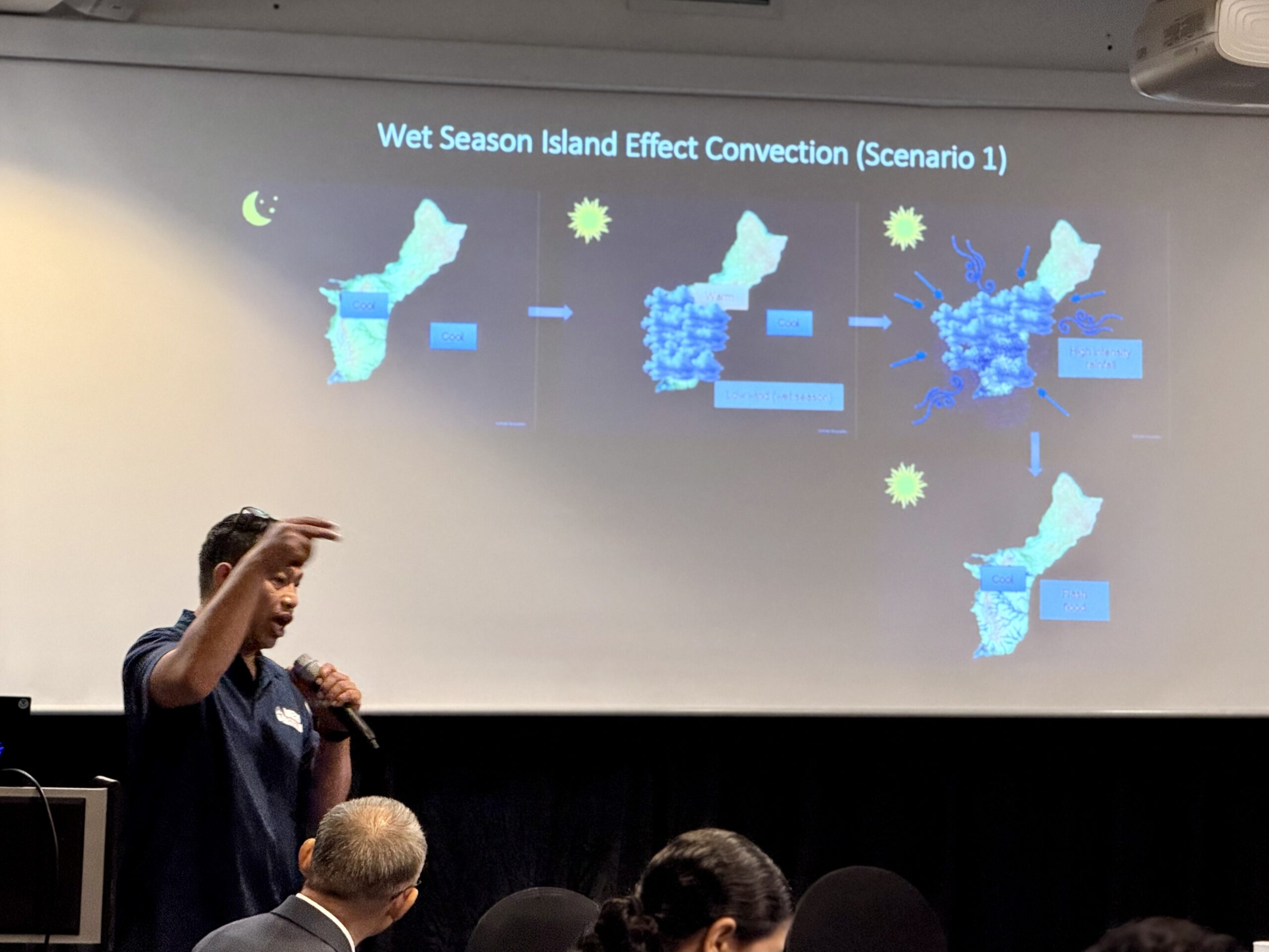
The partnership intensified after Typhoon Mawar in 2023, the longest-duration cyclone to impact Guam in recent decades. NWS, collaborating with Dartmouth College hydrology student Owen “Hugo” Richardson, sought support from WERI hydrologists Habana, Heitz, and Yeo to study rainfall intensity and its effects on flooding. Based on Richardson’s research findings, Habana and Heitz later proposed simulating a known flood event that occurred on Route 4 near the Pagu River Bridge, focusing on testing various rainfall intensities.
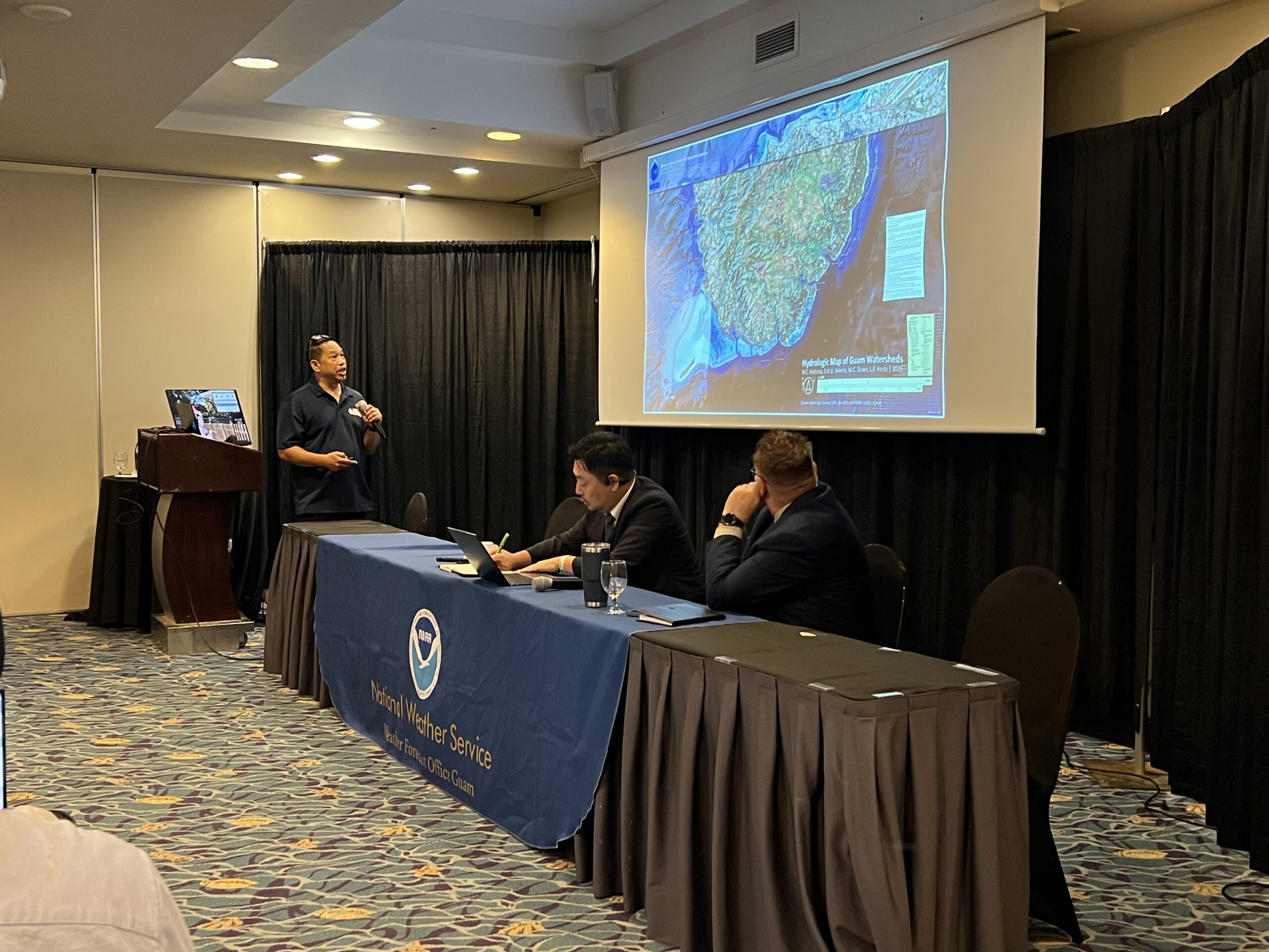
Furthering this initiative, Habana, acting as a delegate of the Watershed Planning Committee under the Guam Forest Systems Program, volunteered to produce a comprehensive hydrologic map of Guam’s watersheds. In late 2024 to early 2025, Habana secured funding from the Guam Hydrologic Survey (GHS) and the U.S. Geological Survey (USGS) 104-b program to develop the Hydrologic Map of Guam Watersheds, leveraging the 2020 Guam Digital Elevation Model (DEM).
Accompanying the mapping project, an Aquaveo Watershed Modeling Systems hydrologic model called GSSHA was applied to simulate flood events that impacted Route 4 in 2019 and 2022 due to intense rainfall. The research utilized intensity-duration curves to accurately replicate the flood extent. Heitz collaborated with Aquaveo to integrate 7-minute NEXRAD rain intensity raster data into the GSSHA model, resulting in simulations that successfully matched the observed flood extent at the site. Habana concluded with proposing to do 4 more flood prone sites that may help NWS improve their flood warning system and protocol. Habana’s ultimate goal however is to use the flood model to test recharge infiltration on the Northern Guam Lens Aquifer.
Latest News
Email
Print
WhatsApp
LinkedIn
Facebook
Twitter