
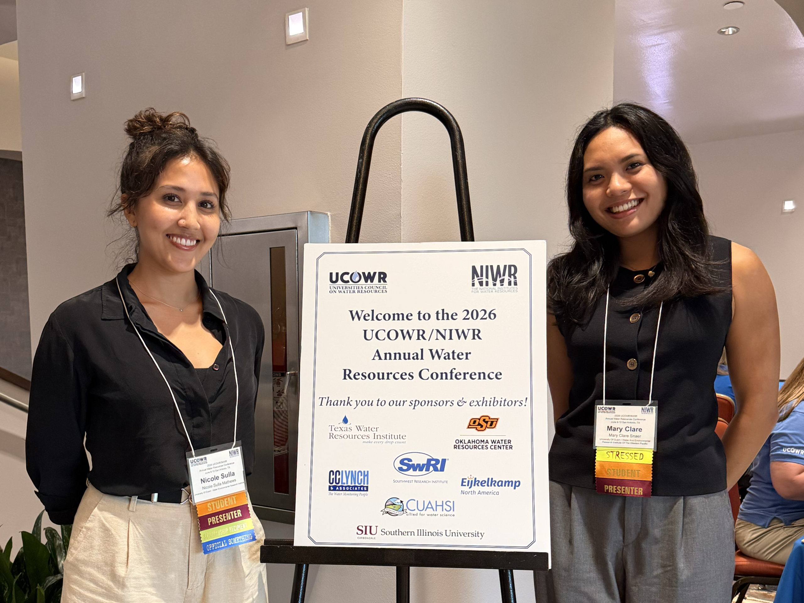
WERI presents at NACD Pacific Southwest Region Meeting
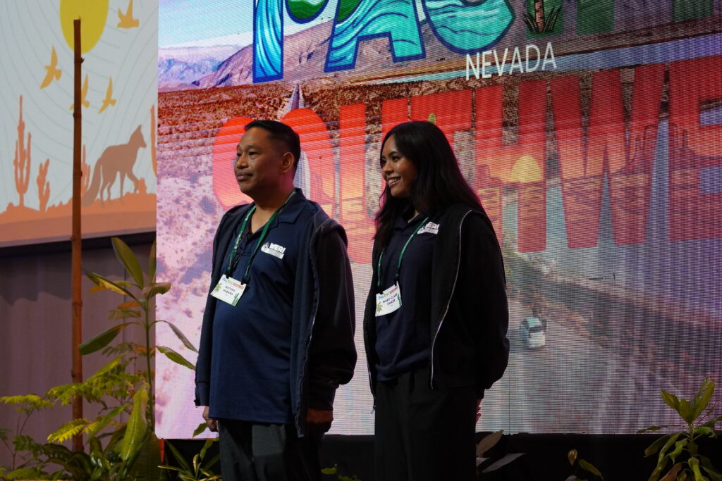
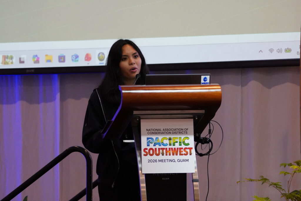
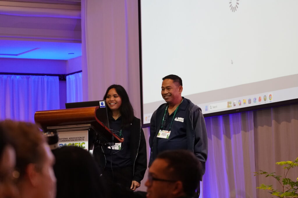
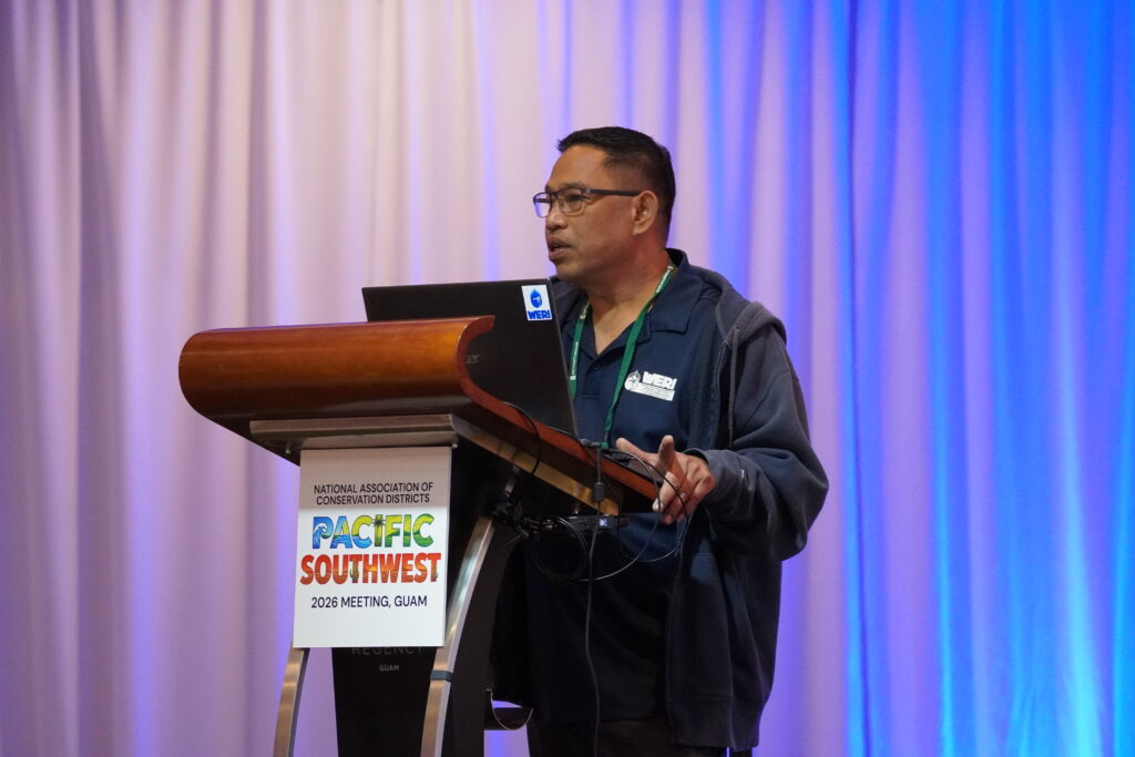
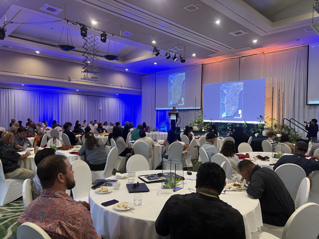
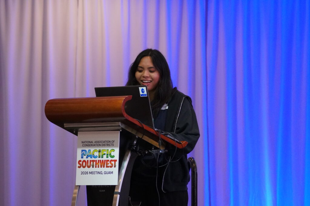
The Water and Environmental Research Institute of the Western Pacific (WERI) joined conservation leaders, researchers, and natural-resource professionals from across the region at the 2026 National Association of Conservation Districts (NACD) Pacific Southwest Region Meeting, held August 24–28 at the Hyatt Regency Guam. Under the theme “Currents of Conservation: Navigating Soil & Water Stewardship,” the meeting brought together local and regional perspectives on agriculture, watershed management, water quality, conservation, and the use of new technologies and data to better understand and protect natural resources. Representing WERI, Ms. Mary Clare Snaer, a recent graduate of UOG’s Master of Science in Environmental Science program, and Dr. Nathan Habana, WERI Hydrologist, shared two unique approaches to understanding Guam’s freshwater resources and landscape.
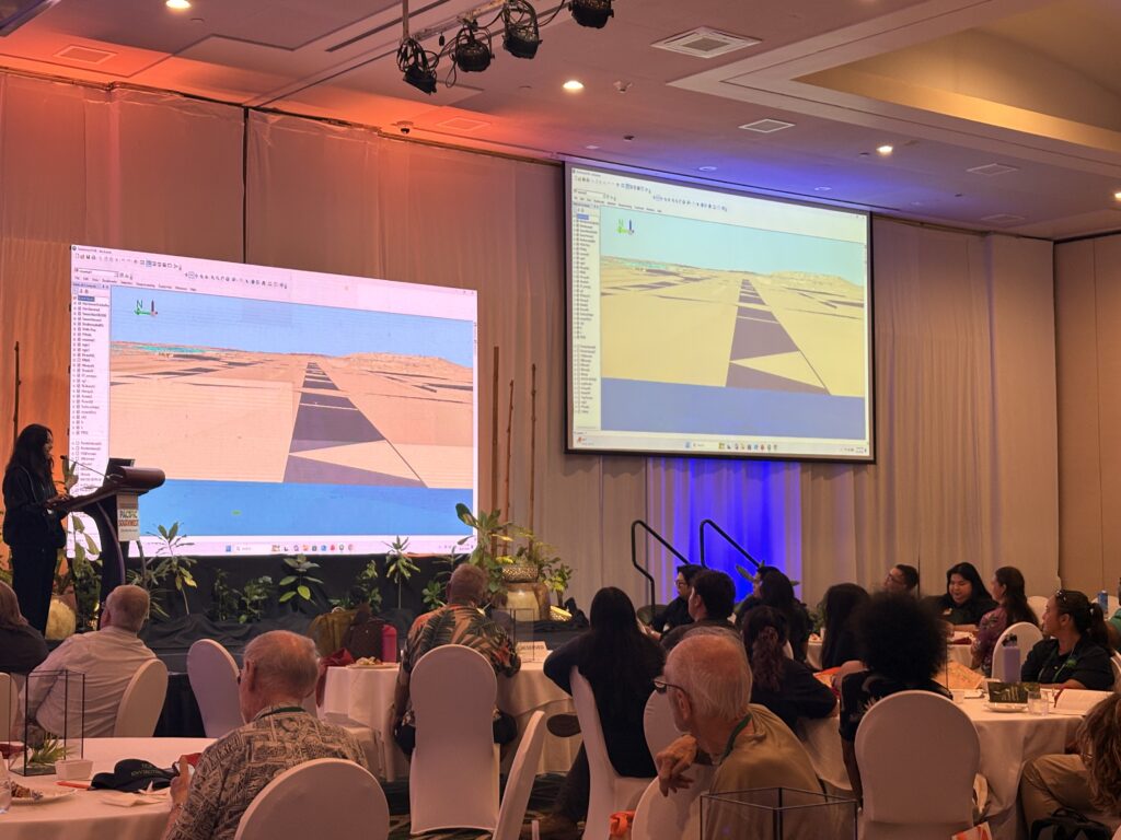
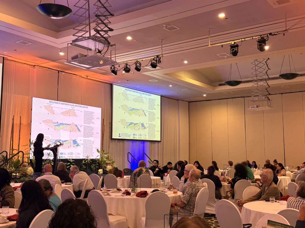
Ms. Snaer took the audience on an immersive tour of the Northern Guam Lens Aquifer (NGLA), bringing together science, visualization, and storytelling to present Guam’s primary freshwater resource from a new perspective. Her presentation explored the development of Guam’s geology and the NGLA while incorporating the CHamoru story of creation and Fu’una, connecting the island’s scientific history with the stories that have described its beginnings for generations. By weaving cultural storytelling into her presentation, Ms. Snaer offered attendees a memorable way to experience the NGLA beyond maps and datasets, connecting Guam’s natural history, freshwater resources, and cultural heritage. Ms. Snaer has focused her research on the hydrologic analysis of deep observation wells throughout the NGLA. Check out her research here!
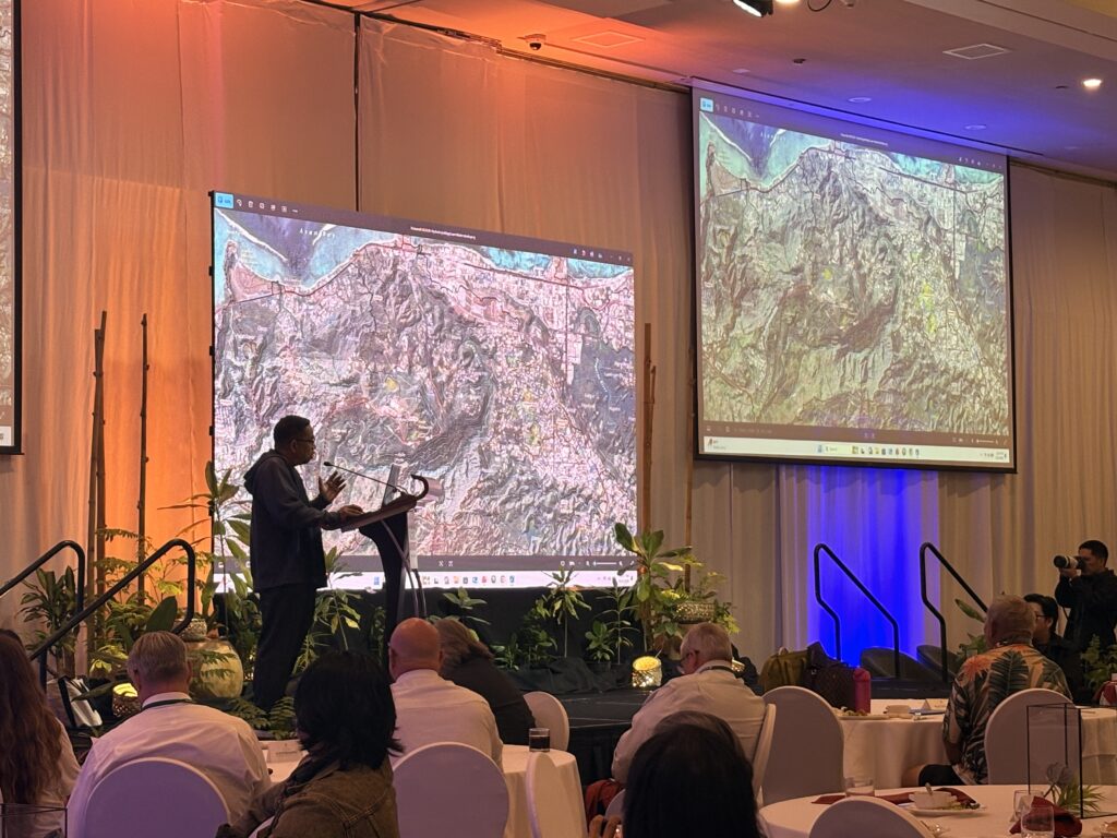
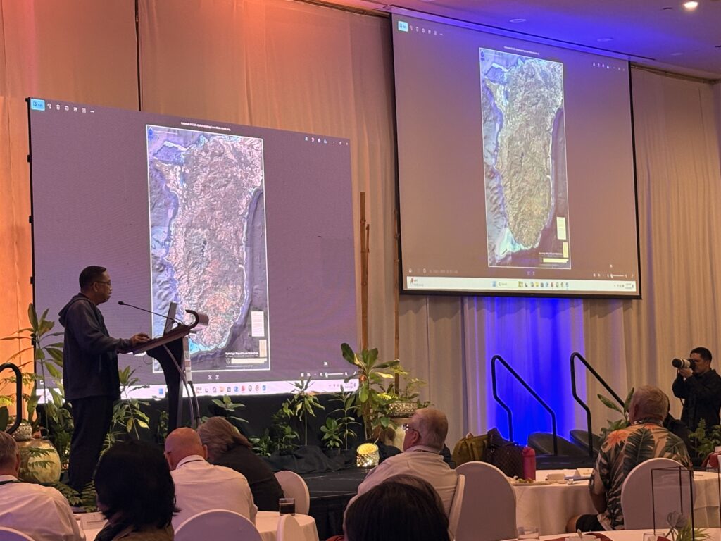
Dr. Nathan Habana followed with another exciting look at Guam’s landscape, presenting his newest hydrologic map of Southern Guam’s watersheds. The sharp map brings together detailed hydrologic and terrain information to provide a clearer view of how Southern Guam’s watersheds are structured and interconnected. You can view this new state-of-the-art map here. The presentation demonstrated how advances in mapping and visualization can provide new ways to see and understand the island’s water resources, while supporting future research, watershed planning, and resource management. Together, Ms. Snaer and Dr. Habana’s presentations showcased two different but complementary ways of understanding Guam—from the stories that have shaped our connection to the island to the newest tools helping us map and study it today.
Latest News
Email
Print
WhatsApp
LinkedIn
Facebook
Twitter