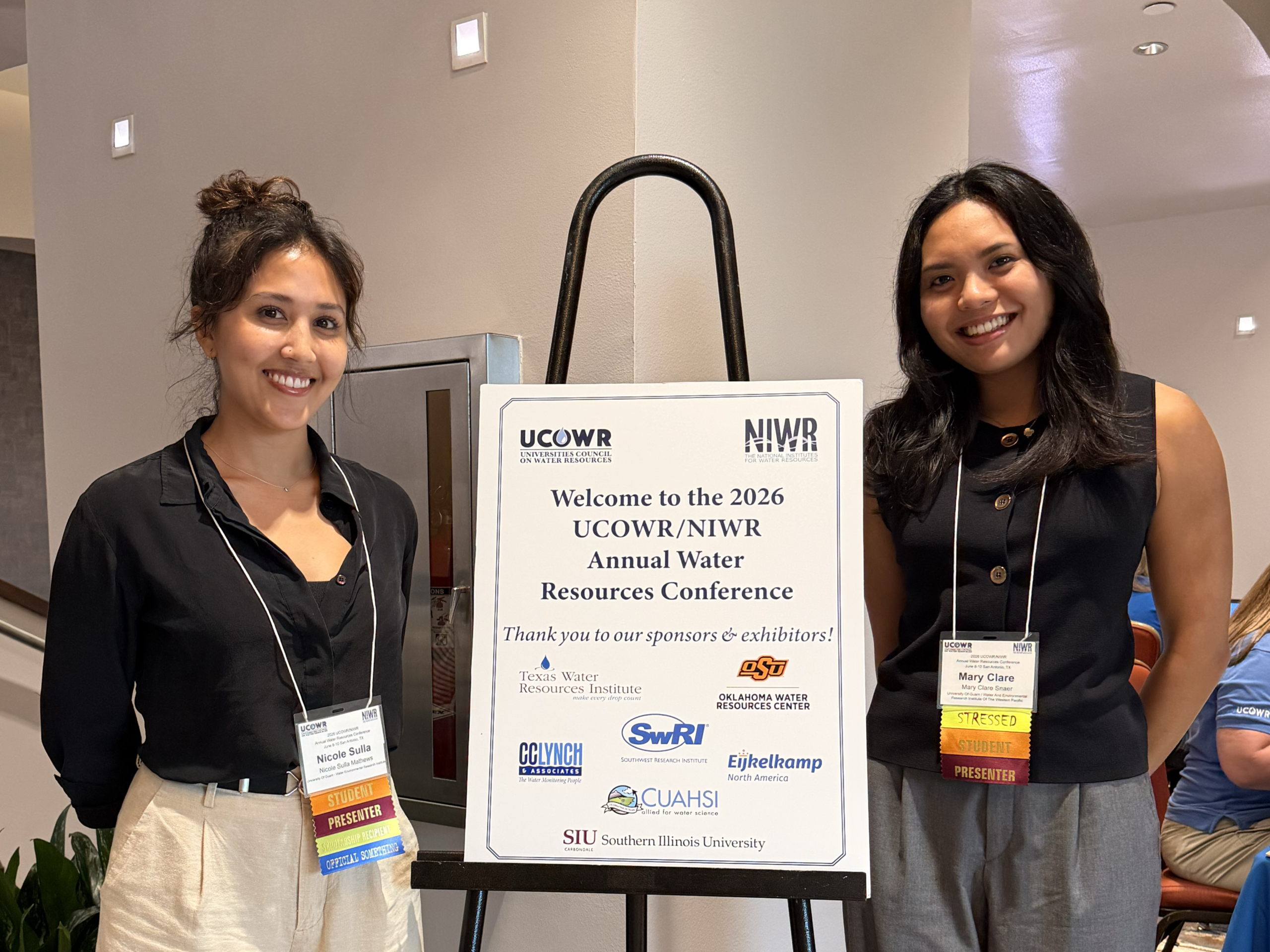
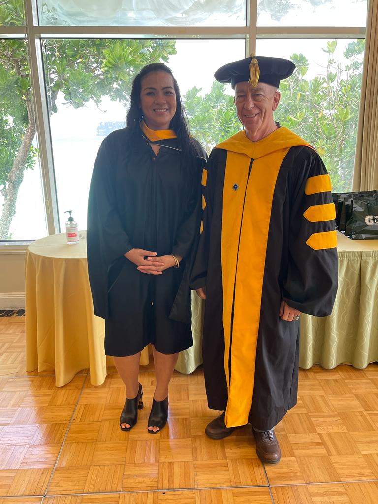
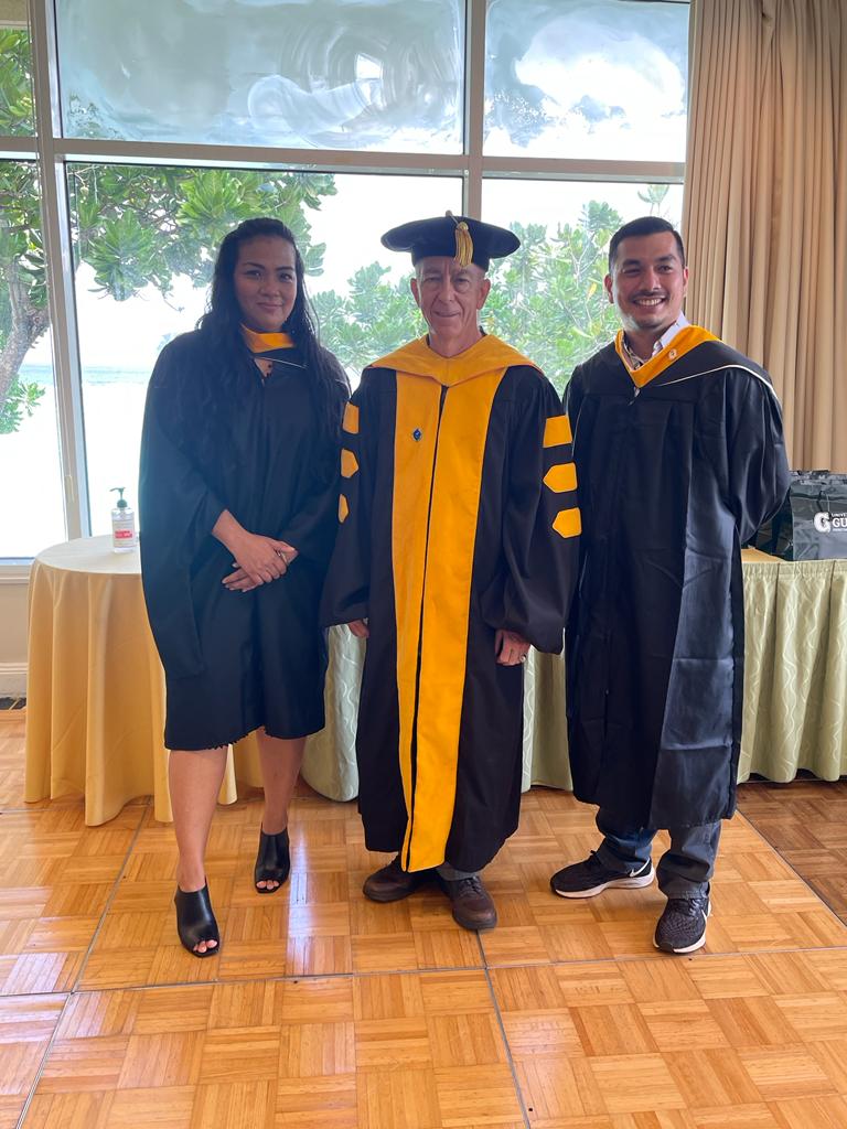
Maria Jhonnie Villareal receives the Presidential Thesis Award
I am pleased to nominate Ms. Maria Jhonnie Villareal for this year’s Presidential Thesis Award. For her thesis, Hydrogeological Characterization of a High-discharge Coastal Freshwater Spring System: Ayuyu Cave, Northwest Guam, Ms. Villareal organized, led, and carried out the kind of classic exploratory fieldstudy upon which the reputations of geologists have been made since the 18th Century. She meticulously mapped an interesting and challenging geologic feature; compiled, organized, and analyzed her observations and data using both classic techniques and cutting-edge tools; and then brilliantly interpreted the results, not only producing a state-of-the-art map but also gaining new insights, including a significant discovery that had eluded all the geologists who had ever examined her study area before her, including her own thesis advisor. Her results are a significant contribution to our understanding of not only the natural plumbing of Guam’s principal aquifer, but to the general geology of limestone-covered islands elsewhere, not only in the western Pacific region, but around the world. I will explain in detail below.
In 2018, Dr. Romina King advised me she was teaming up with some engineers at University of Hawaii
who were looking for applications of unmanned aerial vehicles (UAV) for remote sensing on Pacific
islands—and did I have any suggestions? I did: finding coastal freshwater discharge using thermal
infrared (IR) sensors to spot temperature contrasts. Dr. King proposed she find a student to fly the UAV
and do the IR thermal imaging. I would find one to do the ground truthing and look into where the water
is coming from. I put out a worldwide announcement for a research assistant with an earth science
degree, fit for hiking, swimming, with interests and skills in cave exploration and mapping. I got several
inquiries, including an email from an enthusiastic young geologist in the Philippines—who attached her
resume: Professional licensed geologist, climbing volcanoes for geothermal surveys. Training and
experience in engineering geology, environmental science, project management. Proficient in
hydrogeology, volcanology, drilling, and GIS. Certificates in water safety, firearms safety. Hobbies
included climbing volcanoes and mapping caves. Graduate of Mapua Institute of Technology—where
her senior thesis was selected as Best Thesis of 2009. So, I signed her up.

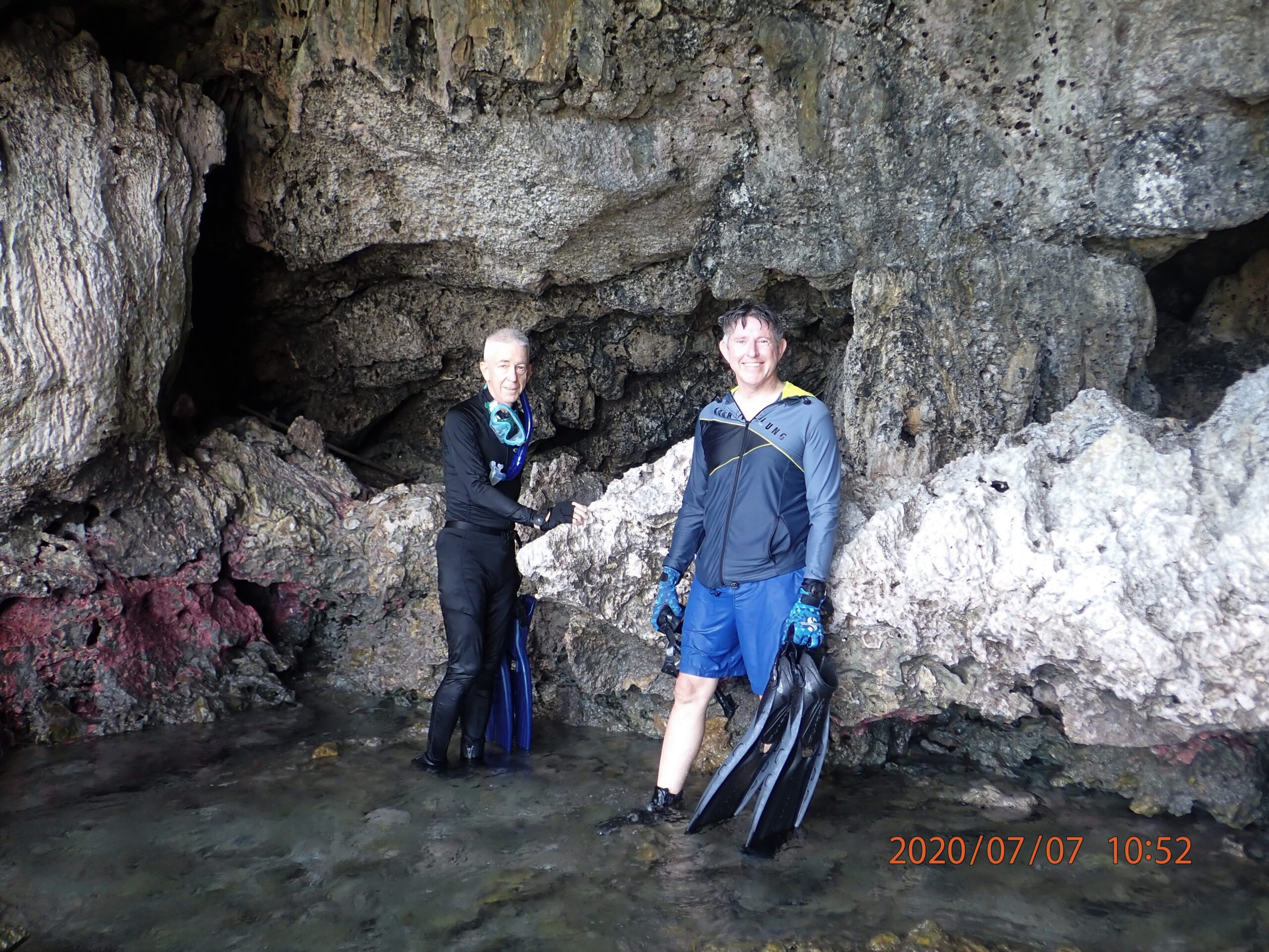
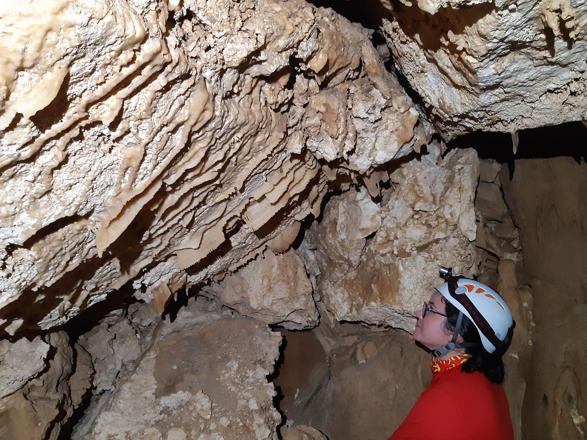
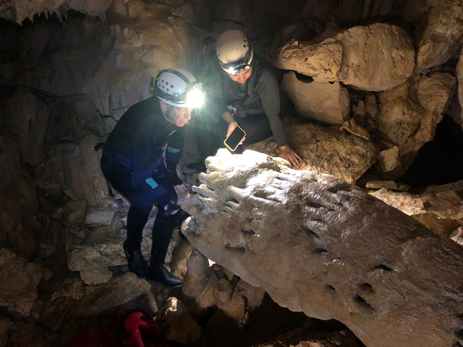

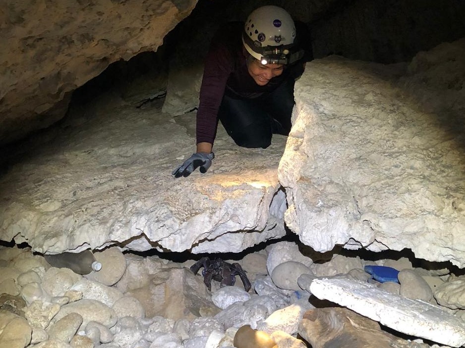

For her thesis, Ms. Villareal mapped Ayuyu Cave, a coastal cave 65 m long with 3500-m3 volume, from
which a freshwater spring discharges 2.3 million gallons per day (MGD) from the Finegayan
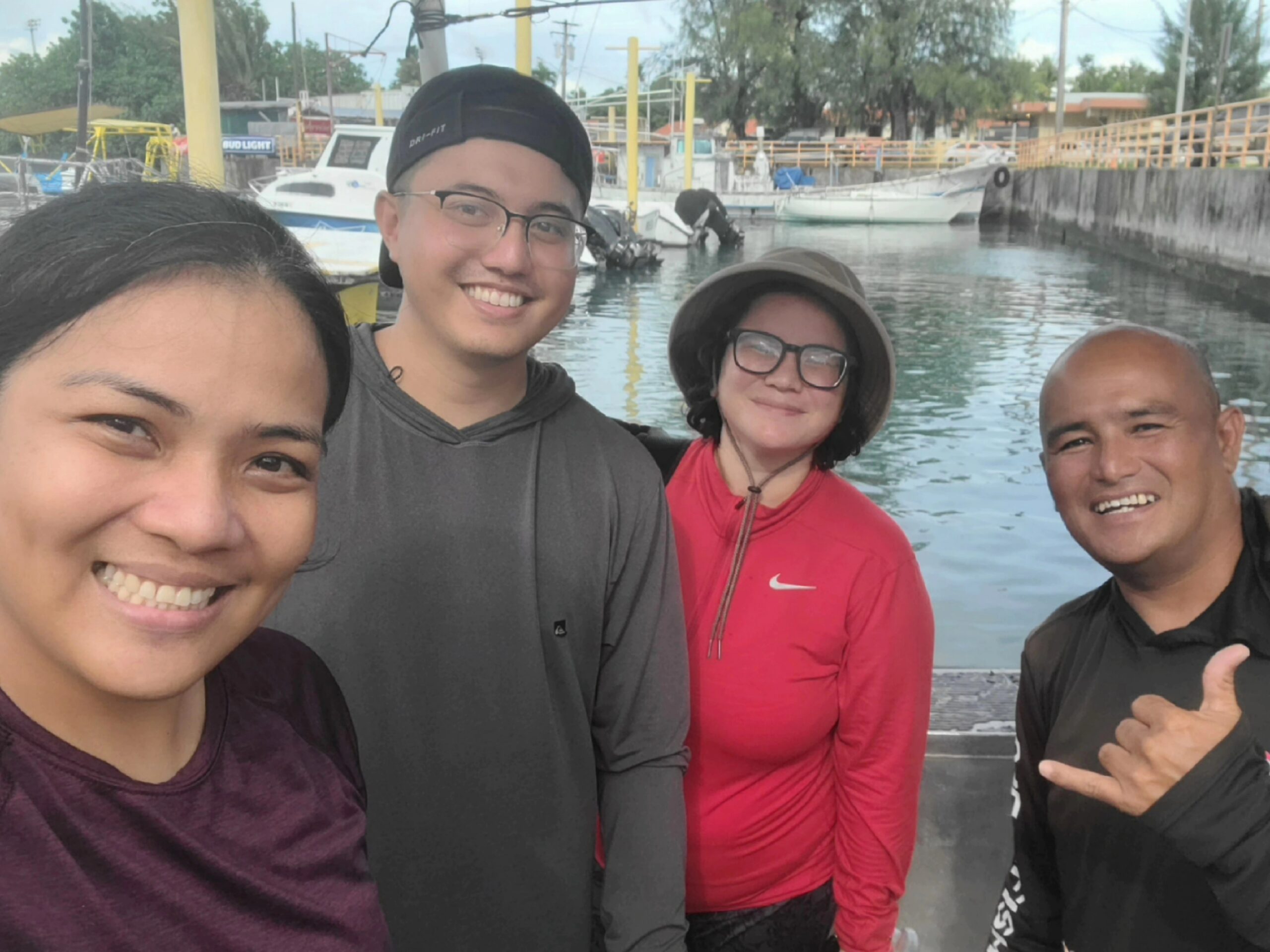
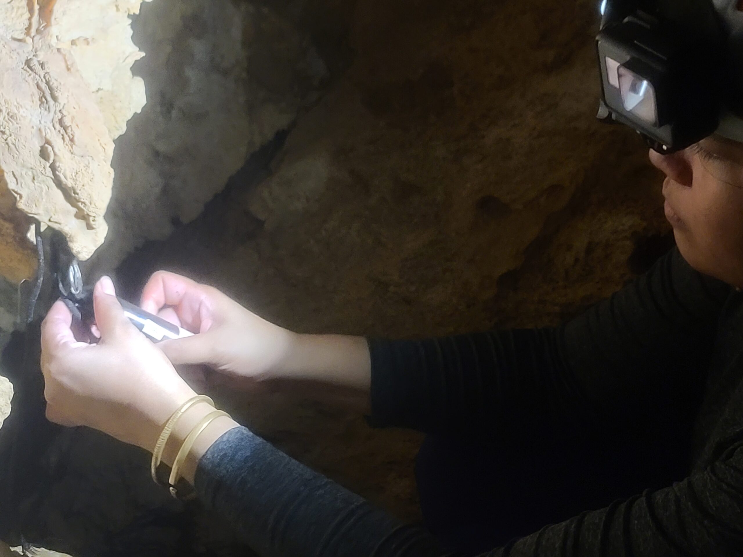
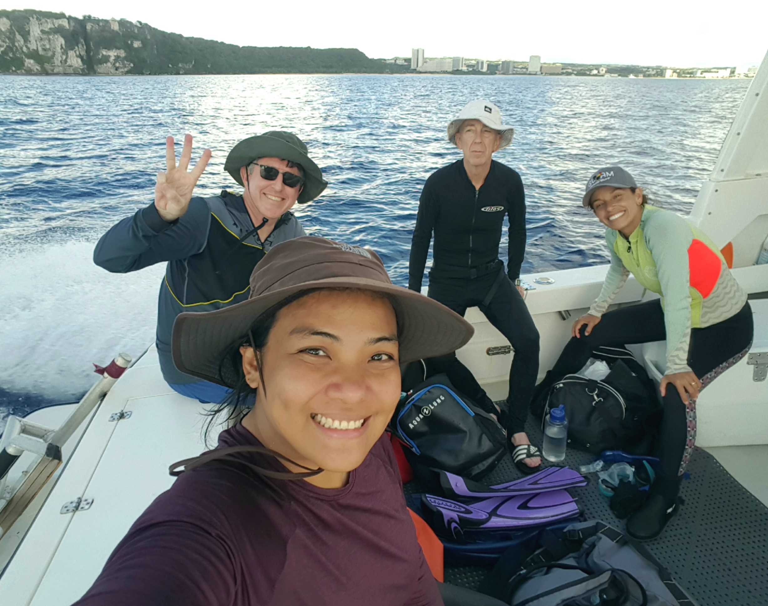
Groundwater Basin of the Northern Guam Lens Aquifer. Leading teams of student volunteers, to assist
her, she surveyed the full extent of the cave, finding passages and rooms that had not been mapped
before. Her survey documented a complex history cave-forming processes reflecting the known cycles of
global sea-level fluctuations along with irregular episodes of local island uplift and subsidence of unknown timing, magnitude, and duration. Features characteristic of caves formed above the water
table, beneath the water table, and in the coastal zone (i.e., vadose, phreatic, and flank margin caves)
are overprinted such that the sequence, timing, and duration of submergence and re-emergence cannot
be discerned. Brecciated zones observed in the walls of the cave, however, are consistent with structural
deformation, i.e., breaking and grinding of the rock by slippage along a fault.
Previous work had shown that the cave is positioned where a previously mapped major fault—the
NNW-trending, 4.4-km Pugua Fault—intersects the coast. Ms. Villareal therefore used remotely-sensed
data and geospatial analysis techniques to study the terrain above the cave for clues to the cave’s
hydrologic relation to the fault, and most especially whether the fault might control the path of
groundwater flow to the 2.3 MGD spring. Pugua Fault was interpreted by earlier workers—including,
and ever since, the legendary USGS team led by Joshua Tracey who first mapped the geology of Guam in
the 1950s—as a normal fault downthrown to the southwest, with subordinate splays. Ms. Villareal’s
analyses of LiDAR data, however, reveal features diagnostic of a left-lateral strike-slip fault overstepping
twice to the left, with extensional bends in between—constituting the trunk of a complex fracture zone,
in which the components vary in width. Ms. Villareal’s finding that the fault has strike-slip characteristics
is a breakthrough in our understanding of the natural plumbing of the aquifer that delivers the high
concentration of spring flow to the cave—and also testifies of Ms. Villareal’s talents as a research
scientist and field geologist. She has refined and revised the geologic map to show the Pugua Fault Zone
and her reinterpretation of the fault. This is a classic case of a bright and talented student discovering
something that had eluded her thesis advisor and would have no doubt remained undiscovered but for
her contribution to the research project.


Ms. Villareal is now working as a research associate at WERI to support the expansion of the aquifer
monitoring system through the addition of seven new deep observation wells that GWA is installing with
funds from a DOD Office of Economic Adjustment grant. Fortuitously, the first of these wells was drilled
early this year and is located in Ms. Villareal’s thesis area. It turned out to be a very challenging well,
with complex rock conditions and complex hydrology. (There is, for example, a step-function in the
salinity profile, which suggests water in the borehole is flowing.) Ms. Villareal’s insights into the
influence of the fault zone in this area make her uniquely qualified to interpret the behavior of this new
well. Ms. Villareal is running the video-logging, geophysical, and hydrological testing programs for the
new wells and already has the respect and attention of GWA and the local professional community as
one of the handful of geologists with expert knowledge of the NGLA. (There is a good chance she will be
offered a permanent salaried position with a local firm, or perhaps even GWA, by the time the GWA
contract is completed.) Her performance here is earning her a solid professional reputation, which is
grounded in the success of her thesis work.
True to Dr. King’s and my expectations when we recruited her, she has delivered another outstanding
thesis, which even includes a new discovery that will prompt a revision of the Geologic Map of Guam.
It is not only good scientific work, but it is also finding practical applications to local water resources
development, and will be of similar value to similar islands in the region and elsewhere. We are eager to
get it published.
by Dr. John W. Jenson
Latest News
Email
Print
WhatsApp
LinkedIn
Facebook
Twitter