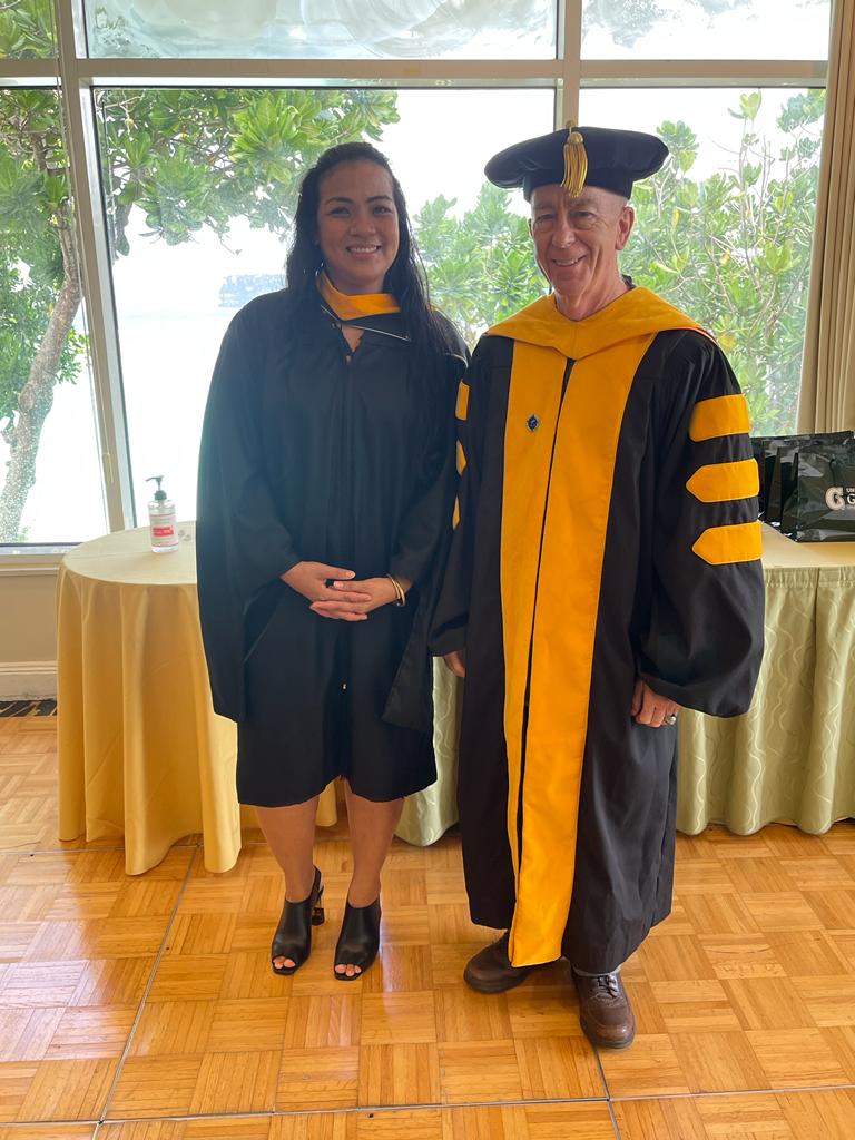
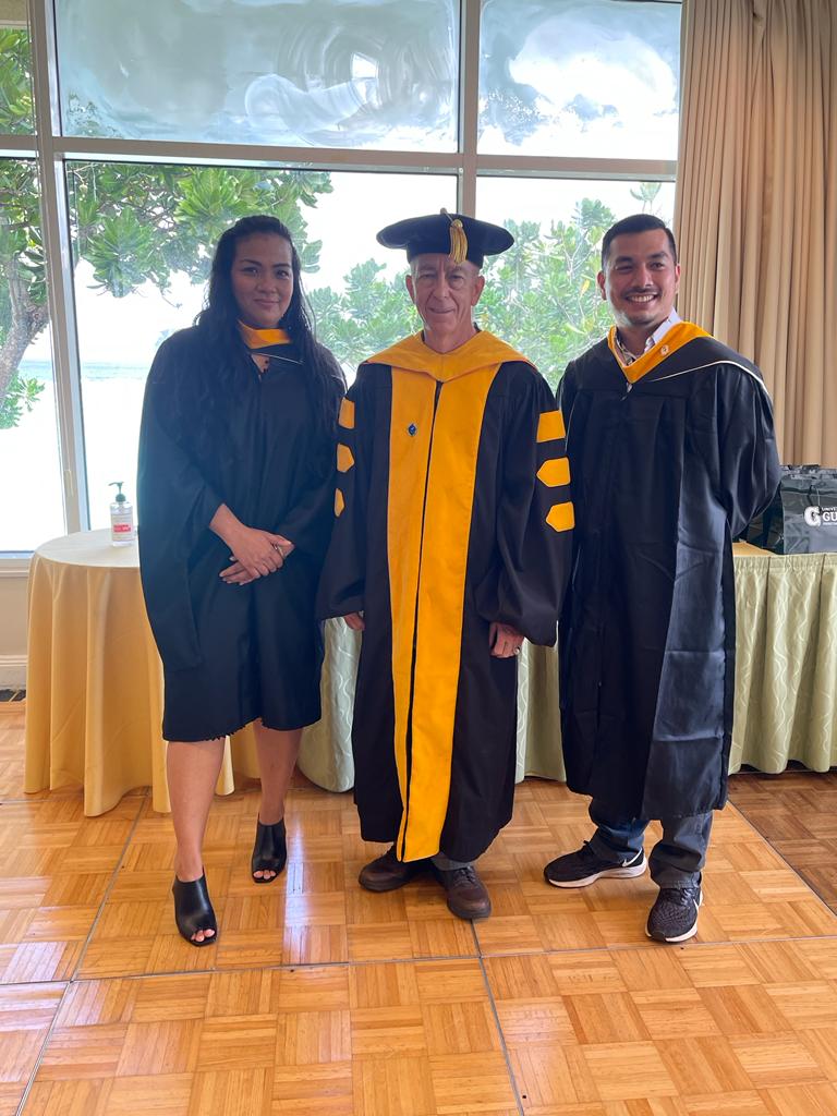
2021 Graduate: Master of Science in Environmental Science
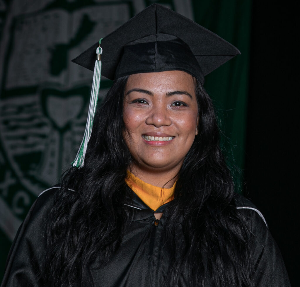
Ms. Maria Jhonnie Villareal, December 2021 graduate. Committee: Jenson, King, and Aban.
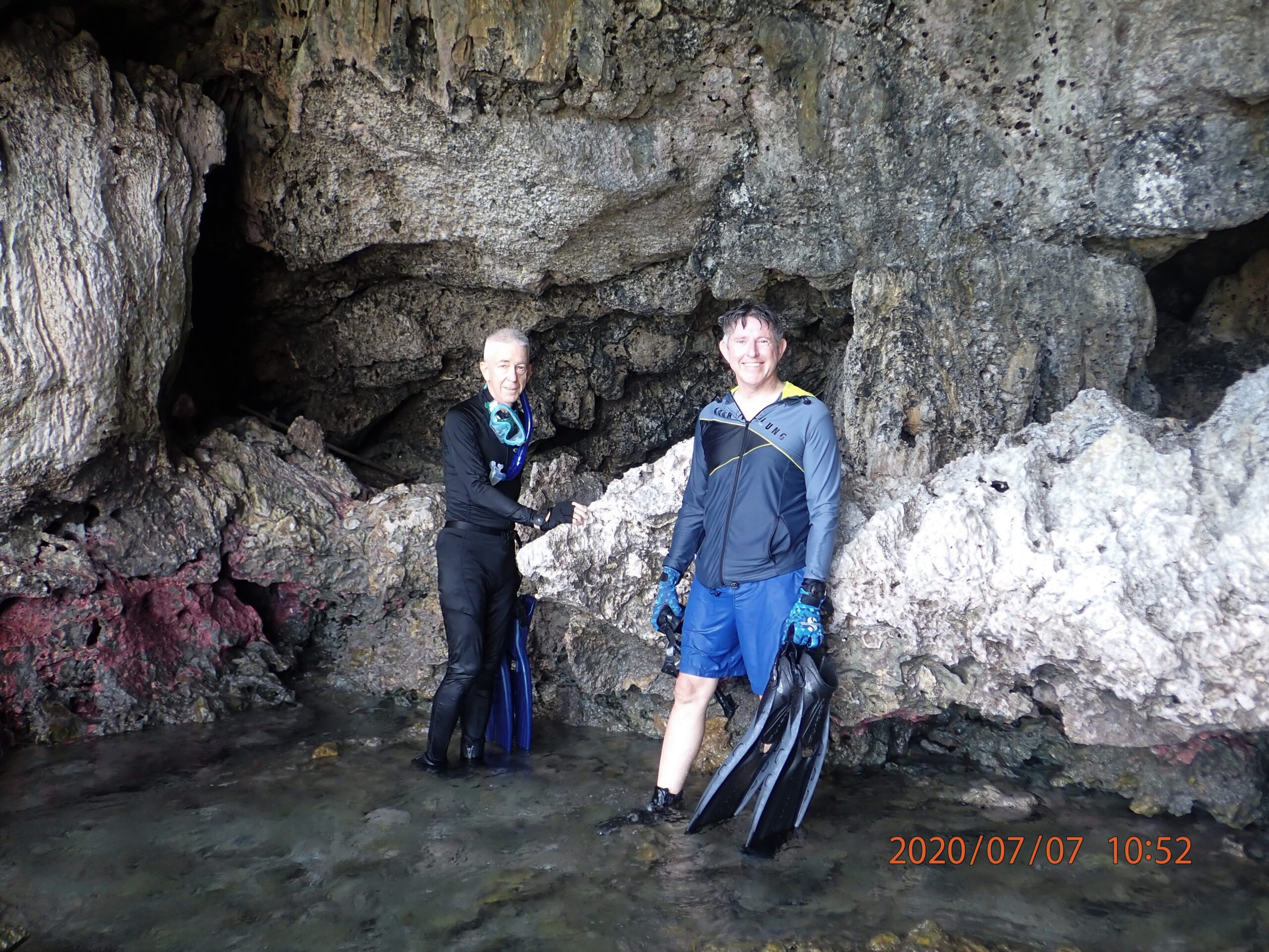
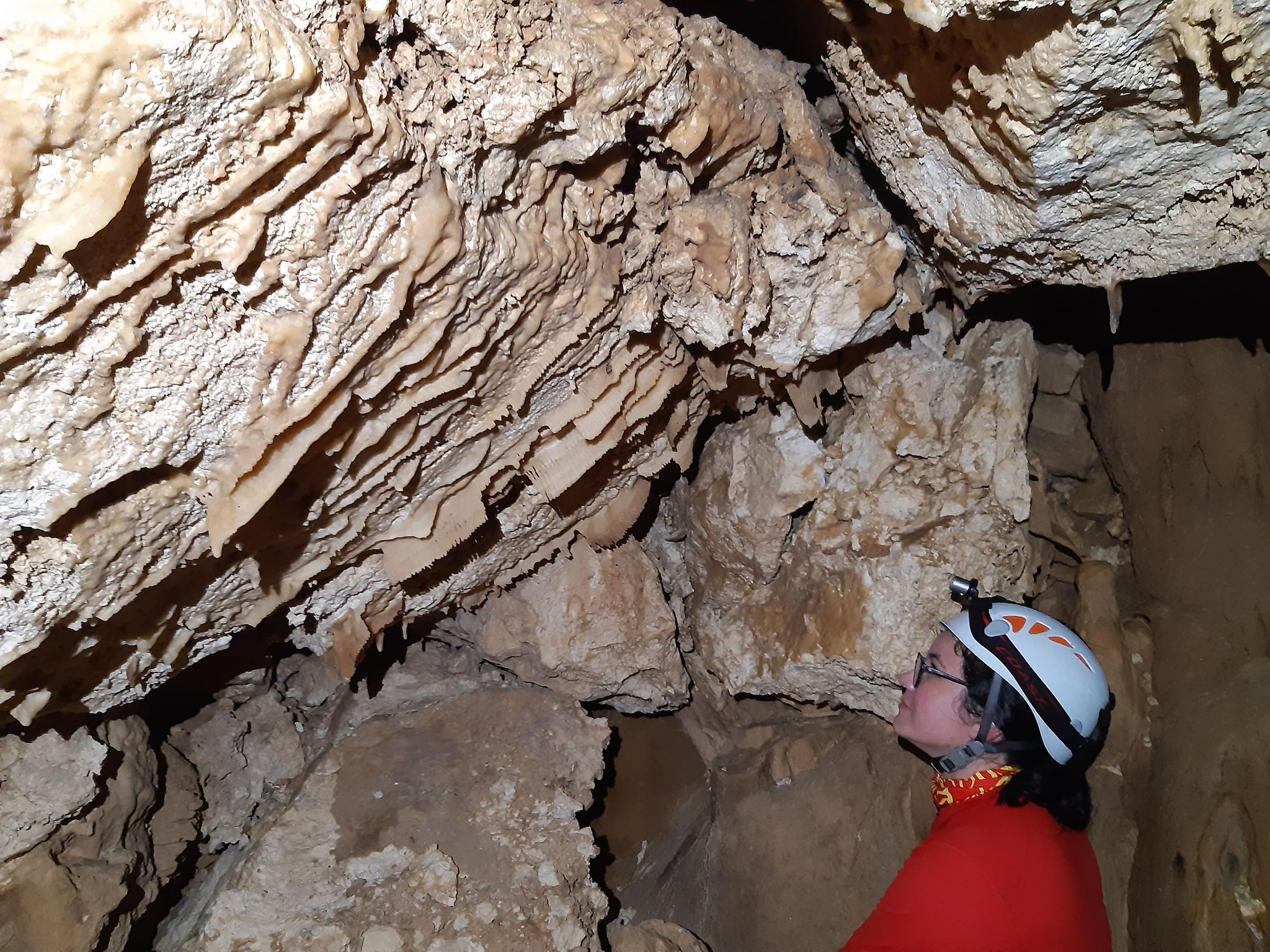
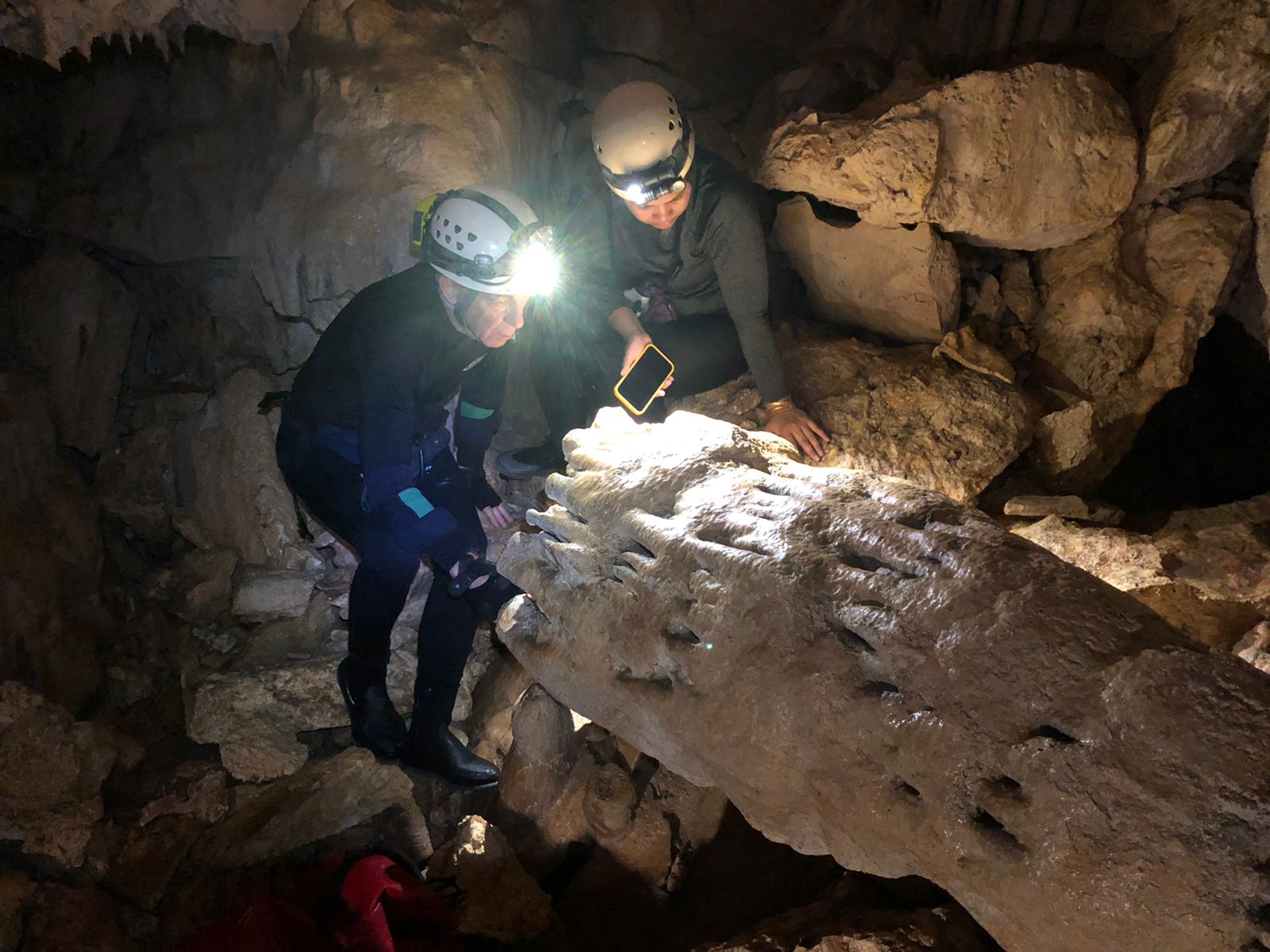
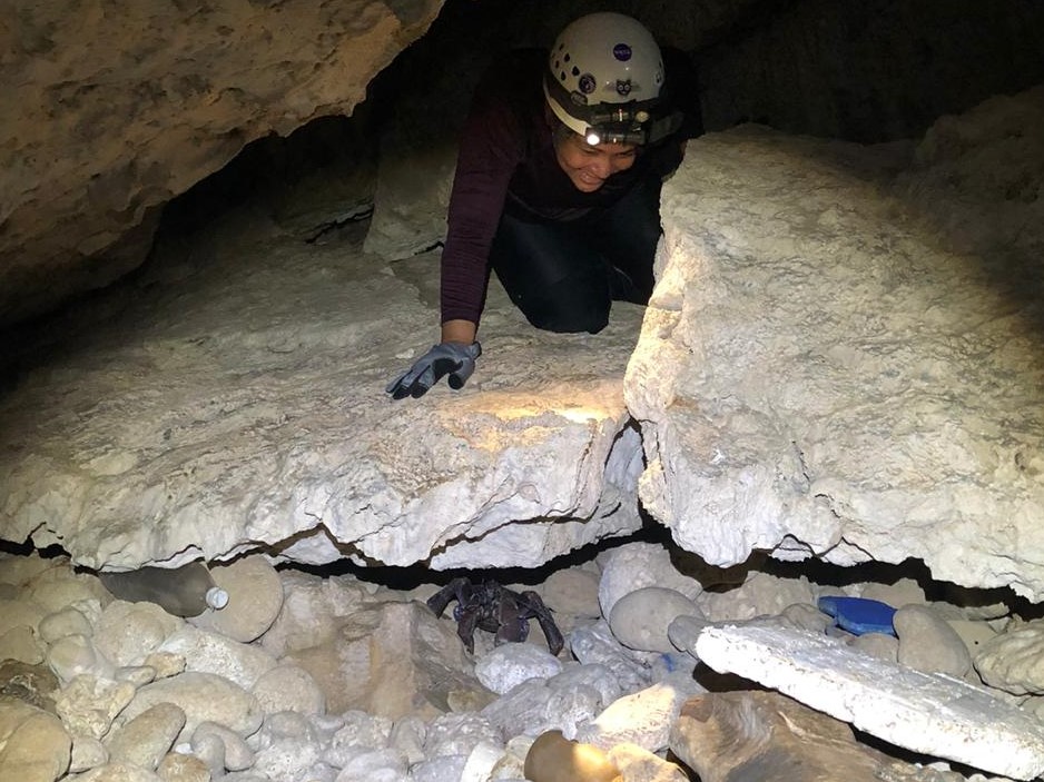
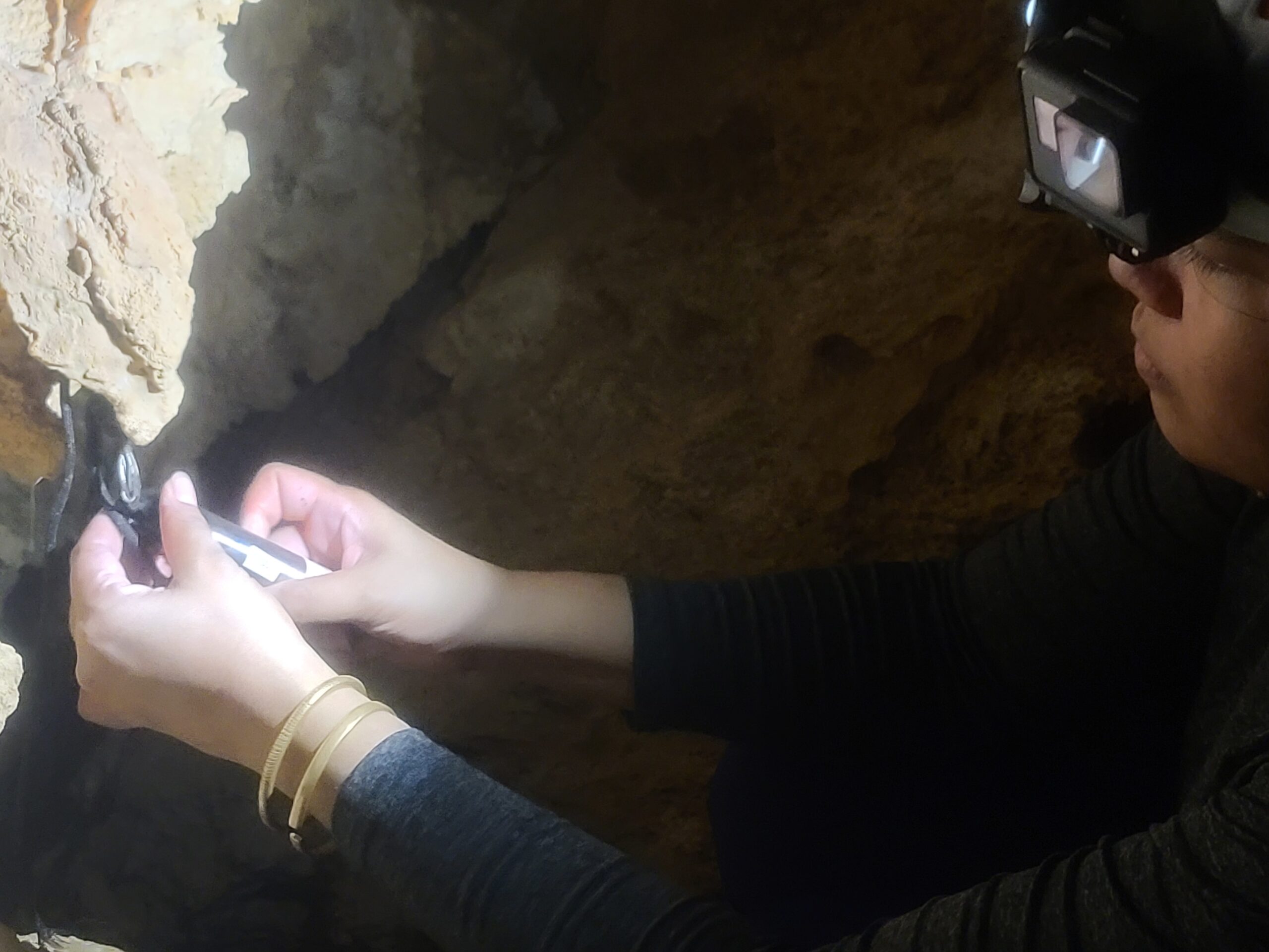
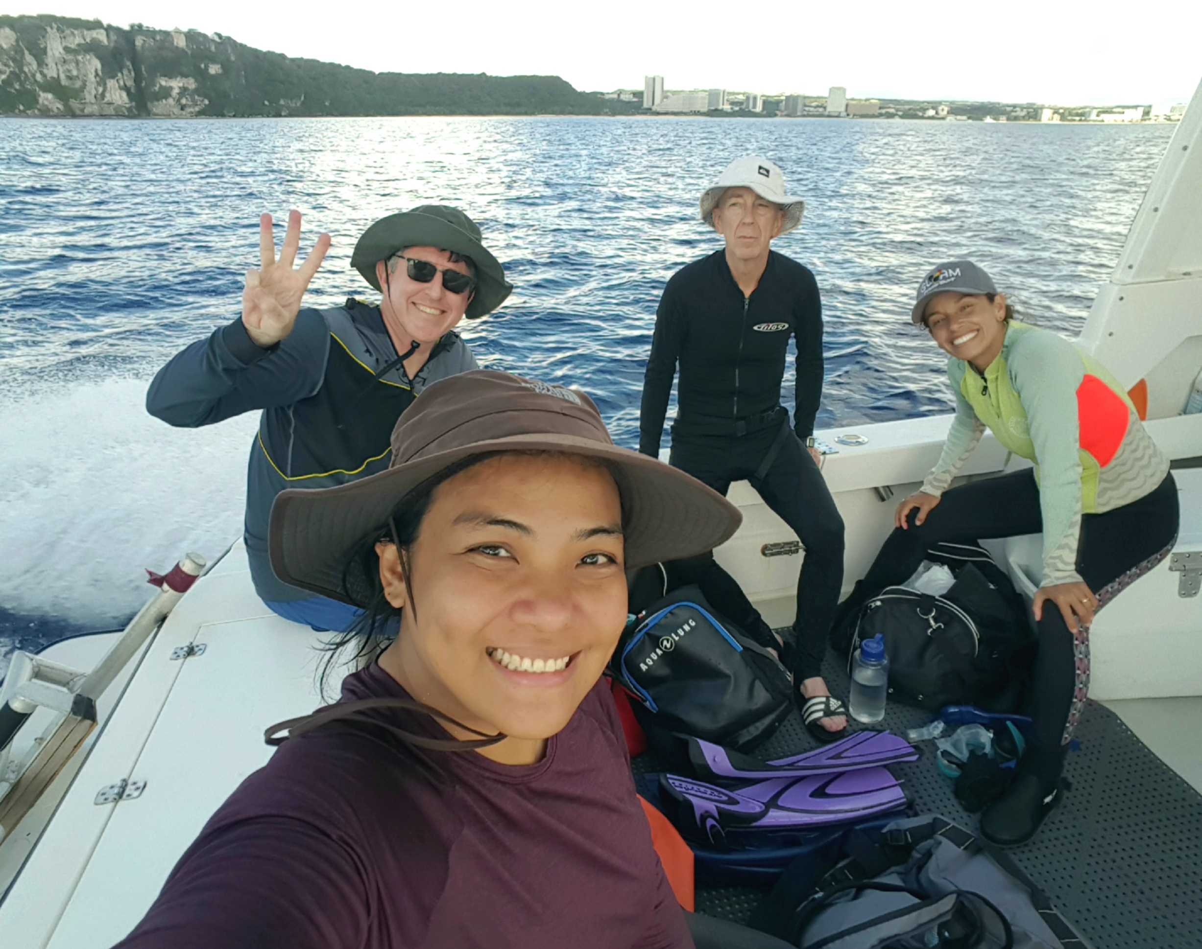
For her thesis, Ms. Villareal mapped Ayuyu Cave, a coastal cave 65 m long with 3500-m3 volume, from which a freshwater spring discharges 2.3 MGD from the Finegayan Groundwater Basin of the Northern Guam Lens Aquifer. She documented a complex speleogenetic history, which includes the known cycles of Pleistocene eustatic sea level fluctuation concurrent with irregular episodes of local tectonic uplift and subsidence of unknown timing, magnitude, and duration. Features characteristic of vadose, phreatic, and flank margin caves are overprinted such that the sequence, timing, and duration of events cannot be discerned. Brecciated zones observed in the cave, however, are consistent with structural deformation.
Ms. Villareal thus also used geospatial analysis to find clues to the hydrogeological influence of the NNW-trending, 4.4km Pugua Fault, which intersects the coast in the vicinity of Ayuyu Cave. Pugua Fault was interpreted by earlier workers as a normal fault downthrown to the southwest, with subordinate splays. Ms. Villareal’s analyses of LiDAR data, however, reveal features diagnostic of a left-lateral strike-slip fault overstepping twice to the left, with extensional bends in between—constituting the trunk of a complex fracture zone, the Pugua Fault Zone, in which the components vary in width. Ms. Villareal’s finding that the fault has strike-slip characteristics is a breakthrough in our understanding of the natural plumbing of the aquifer that delivers the high concentration of spring flow to the cave—and also testifies of Ms. Villareal’s talents as a research scientist.


Her advisor, Dr. Jenson, explains: “Ms. Villareal brought just the right tool kit of expertise, raw talent, and energy to bring a successful outcome to a uniquely challenging project. In 2018, Dr. Romina King advised me she was teaming up with some engineers at University of Hawaii who were looking for applications of unmanned aerial platforms for remote sensing on Pacific islands—and did I have any suggestions? I just happened to have one: finding coastal freshwater discharge using thermal IR sensors to spot temperature contrasts. Dr. King proposed she find a student to fly the UAV and do the IR thermal imaging. I would find one to do the ground truthing and look into where the water is coming from. I put out an announcement for a research assistant with an earth science degree, fit for hiking, swimming, with interests and skills in cave exploration and mapping. I got several inquiries, including an email from an enthusiastic young geologist in the Philippines—who attached her resume: Professional licensed geologist, climbing volcanoes for geothermal surveys. Training and experience in engineering geology, environmental science, project management. Proficient in hydrogeology, volcanology, drilling, and GIS. Certificates in water safety, firearms safety. Hobbies included climbing volcanoes and mapping caves. Graduate of Mapua Institute of Technology—where her senior thesis was selected as Best Thesis of 2009. So, I signed her up. True to our expectations, she has delivered another outstanding thesis, which we are eager to get published.”
Watch Ms. Villareal's Thesis Defense Video:
Latest News
Email
Print
WhatsApp
LinkedIn
Facebook
Twitter