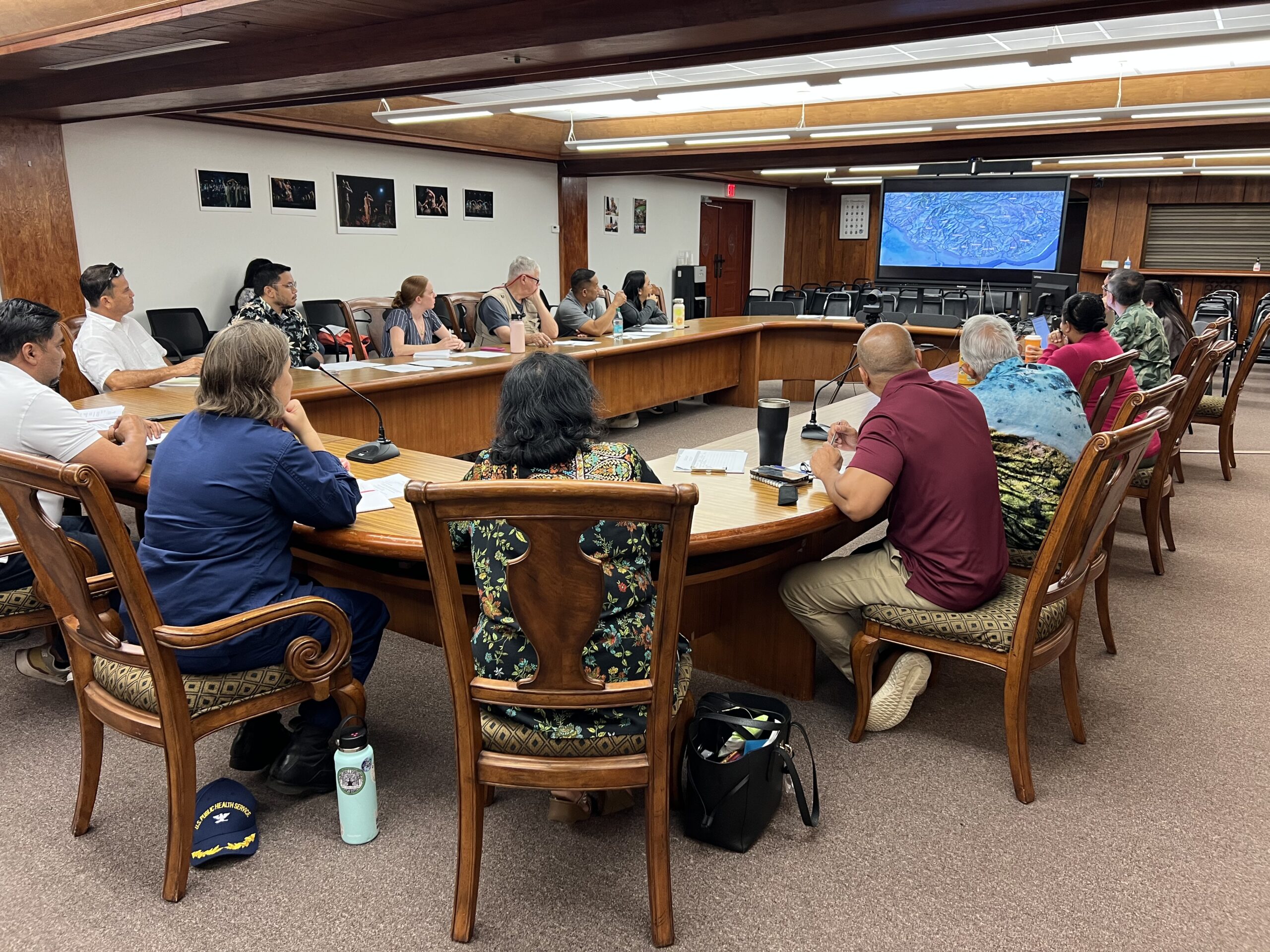
Dr. Habana presents the latest updates on the southern Guam map at the Watershed Planning Committee on Mar. 12, 2025. Photo by WERI.
On Wednesday, March 12, 2025, the Watershed Planning Committee gathered in Adelup for their quarterly meeting. WERI was among the members and presenters for the session.
Dr. Habana, WERI faculty and hydrologist, revealed the latest updates regarding the map of southern Guam. In his presentation, “Terrain Analysis of Southern Guam,” he demonstrated several parts of the map, highlighting the great details of the southern Guam watershed features. For this project, he partnered with Dr. Robert Underwood from the Kumision I Fino’ CHamoru – Na’an Lugåt. Together, they placed and created the names of the southern Guam watersheds for the map.
In the future, WERI seeks to take on a mapping project that will combine both the northern and southern regions of Guam. This upcoming project will include the details from this latest map for southern Guam as well as the map of the Northern Guam Lens Aquifer.
This project will soon be completed and will be available through the Guam Hydrologic Survey’s Web MApps library. To view the current Web MApp library, visit the GHS website here.