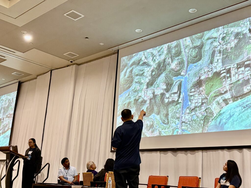
Dr. Nathan Habana, hydrologist at the Water & Environmental Research Institute (WERI), shared his newest hydrologic map of Guam as a panelist at the 10th Assembly of Planners Symposium. His plenary specifically focused on how spatial data integration can be applied to manage natural hazards, make better use of resources, and support the long-term vision of the Guåhan 2050 Sustainability Plan.
The map—developed from high-resolution LiDAR imagery—is the first of its kind for Guam’s watersheds. It builds upon earlier hydrologic studies of the Northern Guam Lens Aquifer, particularly Surface Hydrology of the Northern Guam Lens Aquifer (WERI Technical Report 175), and enhances understanding of surface runoff and drainage paths across the island.
Dr. Habana emphasized several key uses of the map:
-
Flood Risk Management: Helping communities identify and navigate potential flood-prone areas.
-
Watershed Discovery: Revealing rivers and hydrologic features that were previously undetectable.
-
Sustainable Planning: Providing critical data to guide water resource management and long-term planning.
The place names of this new map is based on the place names of two maps, the 1954 Army Map Service Map of Guam and the Geologic Map and Sections of Guam.
The final phase of the project—assigning place names to hydrologic features—is being carried out in collaboration with the Kumision I Fino’ CHamoru and the Kumision I Na’an Lugat Guåhan. A technical report on the product is also underway.
While the project is 90% complete, the PDF is available to view through the Guam Hydrologic Survey’s Web MApps Library section.
“This map allows us to see Guam’s watersheds in a way we’ve never been able to before,” said Dr. Habana.
By showcasing practical applications of GIS and hydrologic data, his presentation highlighted the map as a powerful tool for science, hazard management, and community resilience—supporting actionable strategies to strengthen institutional capacity and advance Guam’s sustainable future.”
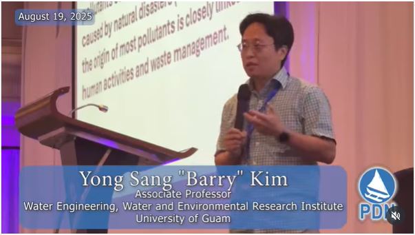
Dr. Yong Sang “Barry” Kim, an Associate Professor at WERI, delivered an important message on the state of Guam’s water resources.
Speaking as part of a panel discussion, Dr. Kim emphasized that the majority of water pollutants originate from human activity, with natural events such as storms contributing to turbidity but far less to long-term contamination. He highlighted PFAS (per- and polyfluoroalkyl substances) as one of the most pressing pollutants, stressing that without human activity these chemicals would not appear in Guam’s water systems.
Dr. Kim noted that most wells on the island are showing detectable levels of PFAS, calling attention to the urgency of addressing this widespread contamination. His presentation underscored the link between human waste management practices and water quality, reinforcing the need for sustainable strategies to protect Guam’s drinking water sources.
By framing water quality within the larger context of human impact, Dr. Kim’s remarks supported the symposium’s goal of advancing resilient planning and environmental management for Guam’s future.
Dr. Chris (Myeong-Ho) Yeo, an Associate Professor at WERI, also presented on the first day of the symposium focusing on linking ecosystem services to economic vitality in Tumon Bay.