WERI Unveils Hydrologic Terrain Analysis Mapping to the Watershed Planning Committee
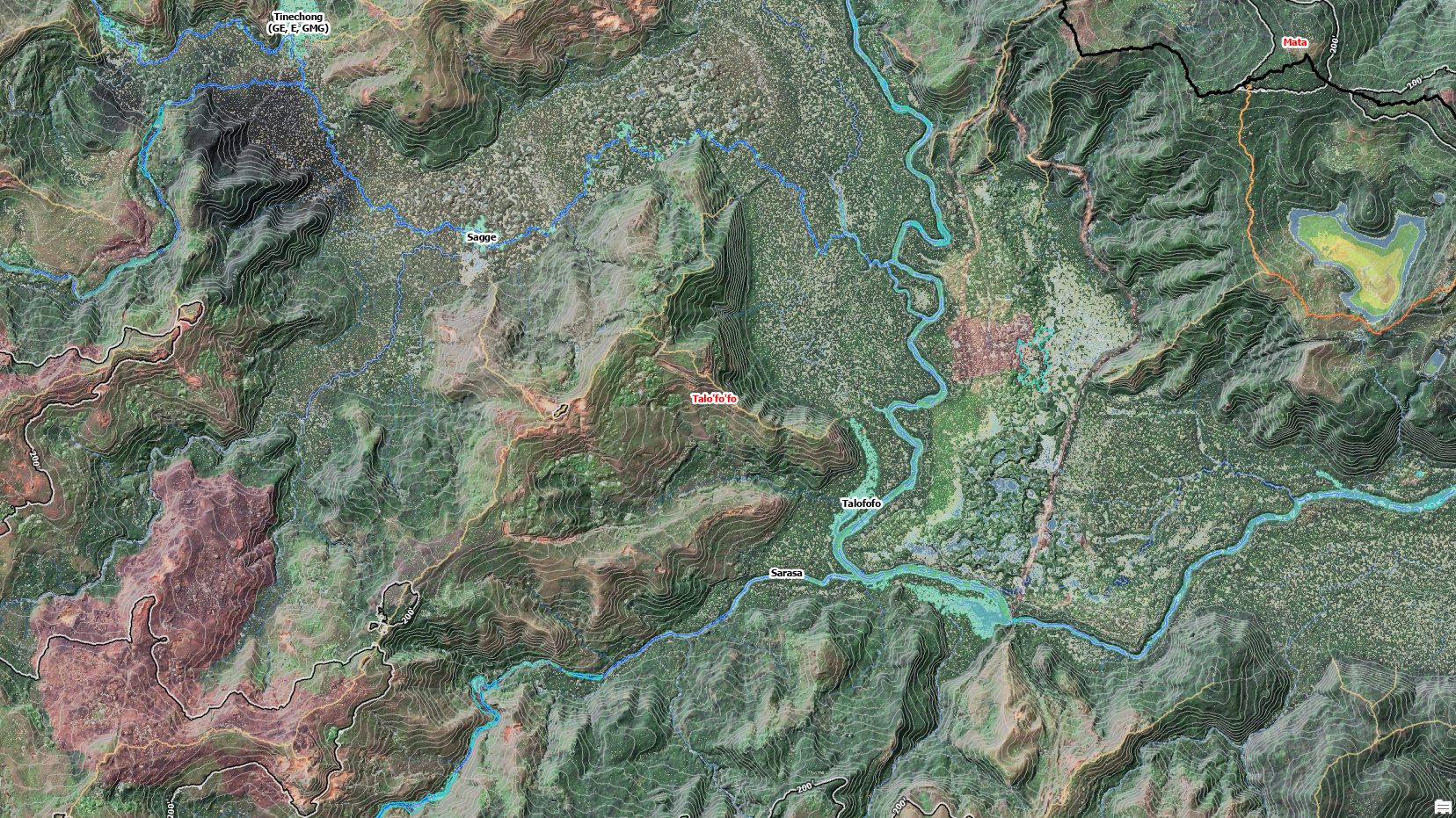
On Friday June 27, 2025, WERI shares the latest update to the watersheds of Guam in the Watershed Planning Committee (WPC) quarterly meeting at the RJB Governor’s Complex, Large Conference Room, Adelup. Dr. Habana, WERI hydrologist, presented the latest terrain and surface hydrology, watersheds of Central and Southern Guam. Habana showcased the most refined surface hydrologic map to date, based on the most recent LiDAR derived digital elevation model of Guam. The presentation revealed parts of a high resolution map in development that contained a multi-layer feature set of fill area (area of surface depressions) features, such as fill area watersheds, depths, tributary watershed divide, river and reservoir, and basin boundaries. The map includes enhanced features of rivers, runoff paths, and overflow runoff paths. Habana says that this is the most refined fundamental hydrologic map ever developed.

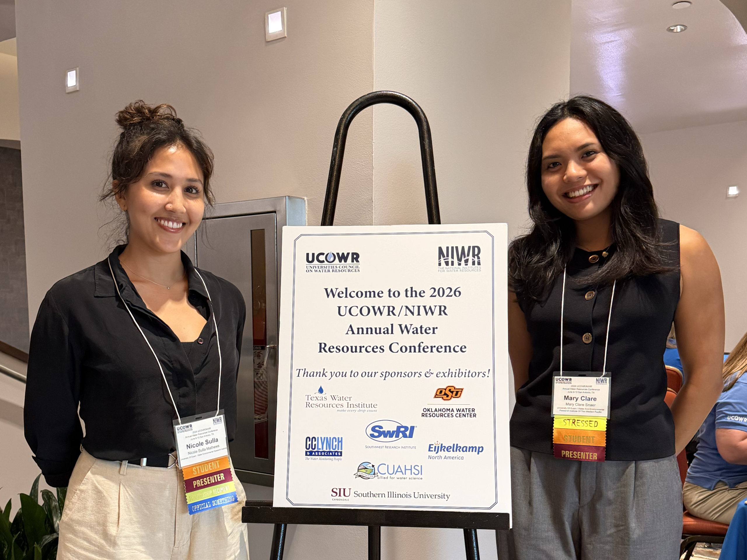
Dr. Habana presents the latest updates on the southern Guam map at the Watershed Planning Committee on June 27, 2025. Photo by WERI.
A large (6’x 8′) pdf map is in development that is less cluttered with information, revealing fine details of even the very high dense watershed area in the southern section (Merizo, Humatac, and Hagat areas). Habana’s ultimate plan is to develop a high resolution WERI Web MApp, an online interactive map interface product that will be made available at the Guam Hydrologic Survey website. The GIS shapefiles and rasters of map layers will be made also available for download. Habana expressed that there are many ways you can approach watershed management, and his is always begins with a highly detailed map. Guam EPA and WPC leader, Margaret Aguilar, expressed great interest in using the map as an official reference for GEPAs and WPCs source of fundamental hydrologic information.
In closing, Habana talked about interest of use of the hydrologic information with storm and flood analysis. Drs. Habana and Heitz, in collaboration with Aquaveo and in response to NWS interest for developing a flood warning system, has developed a watershed flood model of a small tributary watershed in the Pågu Watershed, replicating the extent of a flash flood that occurred on Route 4 towards Pago Bay, October 2, 2019. The model examines and drafts intensity and duration to replicate the same flood extent. And recently, the two were able to work with Aquaveo to bring in NEXRAD rainfall intensity maps into the model to simulate what had happened that day. Habana plans to unveil the details to the flood model in August, WERI GHS Workshop, and in November, the WERI Guam Advisory Council Meeting.
Latest News
Email
Print
WhatsApp
LinkedIn
Facebook
Twitter